Circular from Wotton-under-Edge via Tyley Bottom, Ozleworth and Newark Park
Wotton-under-Edge, GloucestershireWalks in Gloucestershire

- Distance
- 7.2 miles
- Time
- 3 hr 15 min
- Climb
- 806 ft
- Route
- Circular
- Difficulty
- Moderate
About this walk
A moderate 7.2-mile loop around Wotton-under-Edge, about three and a half hours.
Route waymarked by Cotswolds National Landscape, mapped by OpenStreetMap contributors.
Near the start
- Café
- The Wotton Coffee Shop, 350 m from the start
- Pub
- Beer Mongery Inc., 350 m from the start
- Shop
- Walkers the Bakers, 250 m from the start
- Toilets
- 400 m from the start
- Drinking water
- 300 m from the start
- Stiles
- 3 mapped on the route
- Woodland
- About 10% of the route
Good to know
- Hills
- Flat
Photos
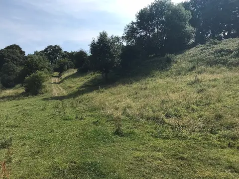
Path to Goose Green — Photo: don cload, CC BY-SA 2.0 (Wikimedia Commons)
More walks near Wotton-under-Edge

Bruce Trail Friendship Trail
Whiteshill · 10.3 miles away
6 miles · 2 hr 55 min · Circular
- Circular
- Woodland

Bath Skyline Walk
Bathwick · 17.6 miles away
5.8 miles · 2 hr 40 min · Circular
- Circular
- Woodland
- Café or pub nearby
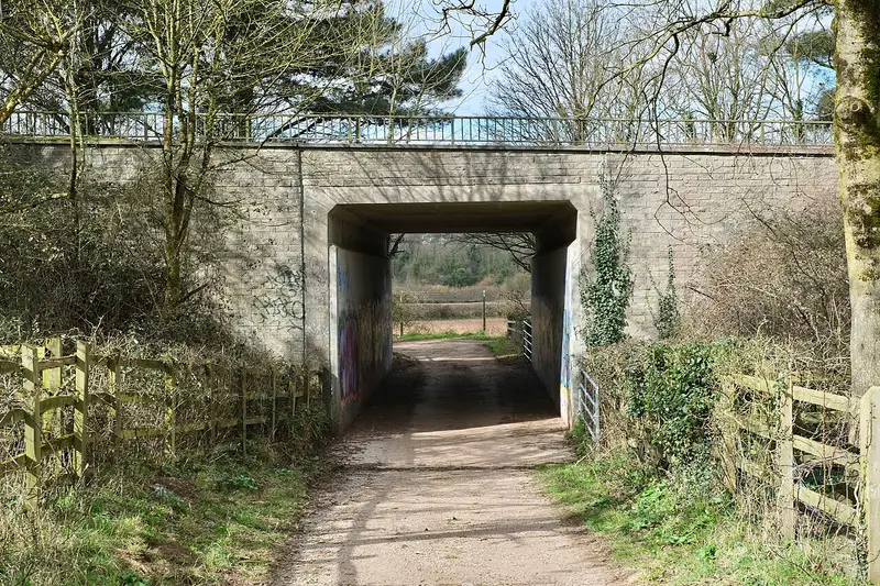
Long Ashton Village Circular Walk
Long Ashton · 19.7 miles away
5.6 miles · 2 hr 35 min · Circular
- Circular
- Café or pub nearby
- No stiles
Bishton & Llanwern Loop
Bishton · 23.5 miles away
3.1 miles · 1 hr 25 min · Circular
- Circular
- No stiles

Avebury Ridgeway Walk
Avebury · 25.7 miles away
5.3 miles · 2 hr 15 min · Circular
- Circular
- Café or pub nearby
- No stiles
Clytha and Coed y Bwnydd walk
Llanarth · 25.9 miles away
8.2 miles · 3 hr 45 min · Circular
- Circular
- Café or pub nearby
Walk Circular from Wotton-under-Edge via Tyley Bottom, Ozleworth and Newark Park with Lead On
Save it to your walks and Lead On will suggest it on a day it suits: the right weather, the right tide and the time you have. It tracks the route as you go, even with your phone locked.