Clytha and Coed y Bwnydd walk
Llanarth, Monmouthshire
- Distance
- 8.2 miles
- Time
- 3 hr 45 min
- Climb
- 873 ft
- Route
- Circular
- Difficulty
- Challenging
About this walk
A challenging 8.2-mile loop around Llanarth, about three and a half hours.
Ramble through an 18th-century estate, taking in the River Usk & Coed y Bwnydd – the largest & best preserved hillforts in Monmouthshire. There are views of the Sugar Loaf, Usk Valley & Clytha Castle, one of Wales's most outstanding 18th-century follies.
Route waymarked by National Trust, mapped by OpenStreetMap contributors.
Near the start
- Pub
- The Black Bear, 300 m from the start
- Stiles
- 4 mapped on the route
- Woodland
- About 20% of the route
Good to know
- Hills
- Flat
More walks near Llanarth
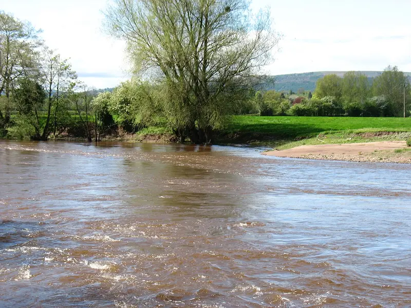
Clytha Short Circular Walk in the Usk Valley
Llanarth · 1.9 miles away
3.1 miles · 1 hr 25 min · Circular
- Circular
- Woodland
- Café or pub nearby
Bishton & Llanwern Loop
Bishton · 11.6 miles away
3.1 miles · 1 hr 25 min · Circular
- Circular
- No stiles

Newport Wetlands & Goldcliff Loop
Nash · 14.1 miles away
6.7 miles · 2 hr 45 min · Circular
- Circular
- Coastal
- Café or pub nearby
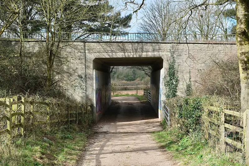
Long Ashton Village Circular Walk
Long Ashton · 24.3 miles away
5.6 miles · 2 hr 35 min · Circular
- Circular
- Café or pub nearby
- No stiles
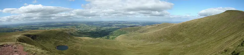
Pen y Fan and Corn Du Circular Walk
Cwm-llwch · 24.8 miles away
4.3 miles · 2 hr 30 min · Circular
- Circular
- Café or pub nearby

Circular from Wotton-under-Edge via Tyley Bottom, Ozleworth and Newark Park
Wotton-under-Edge · 25.9 miles away
7.2 miles · 3 hr 15 min · Circular
- Circular
- Café or pub nearby
Walk Clytha and Coed y Bwnydd walk with Lead On
Save it to your walks and Lead On will suggest it on a day it suits: the right weather, the right tide and the time you have. It tracks the route as you go, even with your phone locked.