Bruce Trail Friendship Trail
Whiteshill, GloucestershireWalks in Gloucestershire

- Distance
- 6 miles
- Time
- 2 hr 55 min
- Climb
- 1001 ft
- Route
- Circular
- Difficulty
- Moderate
About this walk
A moderate 6-mile loop around Whiteshill, about three hours.
This circular walk starts from Whiteshill in Gloucestershire and links up with the Cotswold Way along its six-mile loop. Expect a varied mix of scenery, with open common land, stretches of woodland and high beacon points along the route. There's a fair amount of up and down, with around 1,001 feet of climbing in total, so it's rated moderate. Allow roughly three hours to get round at a steady pace. It's a good choice for reasonably fit walkers who don't mind a few hills and want a satisfying half-day outing.
Route, mapped by OpenStreetMap contributors.
Near the start
- Stiles
- 3 mapped on the route
- Woodland
- About 40% of the route
Good to know
- Hills
- Flat
Photos
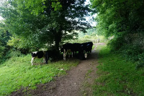
Sheltering cows on Bunker's Bank — Photo: Bill Boaden, CC BY-SA 2.0 (Wikimedia Commons) 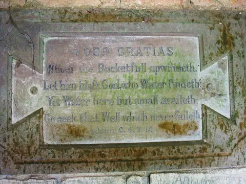
Inscription at Cliff Well — Photo: Sally, CC BY-SA 2.0 (Wikimedia Commons) 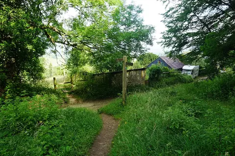
The Cotswold Way at the bottom of Maitlands Wood — Photo: Bill Boaden, CC BY-SA 2.0 (Wikimedia Commons)
More walks near Whiteshill

Circular from Wotton-under-Edge via Tyley Bottom, Ozleworth and Newark Park
Wotton-under-Edge · 10.3 miles away
7.2 miles · 3 hr 15 min · Circular
- Circular
- Café or pub nearby
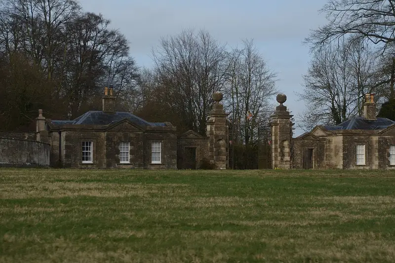
Lodge Park and Sherborne Park Estate
Sherborne · 20.3 miles away
3.8 miles · 1 hr 40 min · Circular
- Circular
- Woodland
- Café or pub nearby
Village Walk
Sherborne · 21.6 miles away
3.3 miles · 1 hr 25 min · Circular
- Circular
- Café or pub nearby
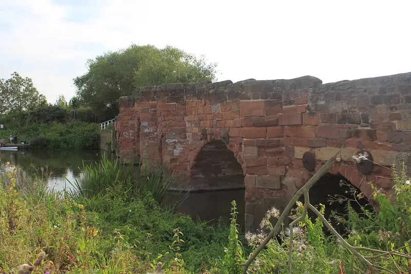
Eckington Wharf Circular Walk
Eckington · 21.9 miles away
3.4 miles · 1 hr 25 min · Circular
- Circular
- Café or pub nearby
- No stiles
Watermeadows Walk
Sherborne · 22.1 miles away
2.2 miles · 1 hr · Circular
- Circular
- Woodland
- No stiles

Bath Skyline Walk
Bathwick · 27.1 miles away
5.8 miles · 2 hr 40 min · Circular
- Circular
- Woodland
- Café or pub nearby
Walk Bruce Trail Friendship Trail with Lead On
Save it to your walks and Lead On will suggest it on a day it suits: the right weather, the right tide and the time you have. It tracks the route as you go, even with your phone locked.