Studley Park
Aldfield, North YorkshireWalks in North Yorkshire

- Distance
- 3.8 miles
- Time
- 1 hr 40 min
- Climb
- 404 ft
- Route
- Circular
- Difficulty
- Easy
About this walk
An easy 3.8-mile loop around Aldfield, about an hour and a half.
This 3.8-mile circular walk near Aldfield explores the grounds around Fountains Abbey, part of a World Heritage Site that also includes Studley Royal Water Garden. The route takes you through the deer park and along the Seven Bridges Valley, both shaped as an 18th-century designed landscape. Most of the going is easy, though you'll meet a handful of moderate slopes, with about 404 ft of climbing overall. Allow roughly 100 minutes. It suits anyone wanting a gentle, interesting outing with a bit of history.
Route waymarked by National Trust, mapped by OpenStreetMap contributors.
Near the start
- Café
- Studley Royal Tea Room, 200 m from the start
- Toilets
- 150 m from the start
- Stiles
- None mapped on the route
Good to know
- Hills
- Flat
More walks near Aldfield

Walk through the centuries at Fountains Abbey
Aldfield · 0.4 miles away
2.4 miles · 1 hr 5 min · Circular
- Circular
- Café or pub nearby
- No stiles

Fountains Abbey
Aldfield · 0.6 miles away
2.1 miles · 55 min · Circular
- Circular
- Woodland
- Café or pub nearby

Brimham Rocks Boundary Walk
Summerbridge · 4.7 miles away
3.4 miles · 1 hr 30 min · Circular
- Circular
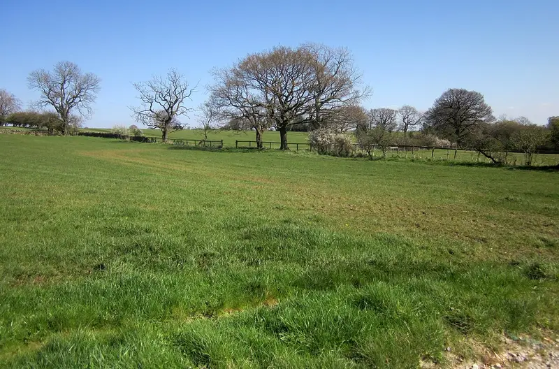
Farmland, Big Skies and Birds of Prey Walk
Summerbridge · 4.8 miles away
4.1 miles · 1 hr 50 min · Circular
- Circular
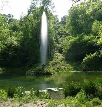
Hackfall Woods
Swinton with Warthermarske · 5.9 miles away
1.3 miles · 45 min · Circular
- Circular
- Woodland
- No stiles

Swinsty Reservoir
Norwood · 10.8 miles away
3.4 miles · 1 hr 40 min · Circular
- Circular
- Woodland
- Café or pub nearby
Walk Studley Park with Lead On
Save it to your walks and Lead On will suggest it on a day it suits: the right weather, the right tide and the time you have. It tracks the route as you go, even with your phone locked.