Marloes Peninsula Coastal Walk
Marloes, PembrokeshireWalks in Pembrokeshire
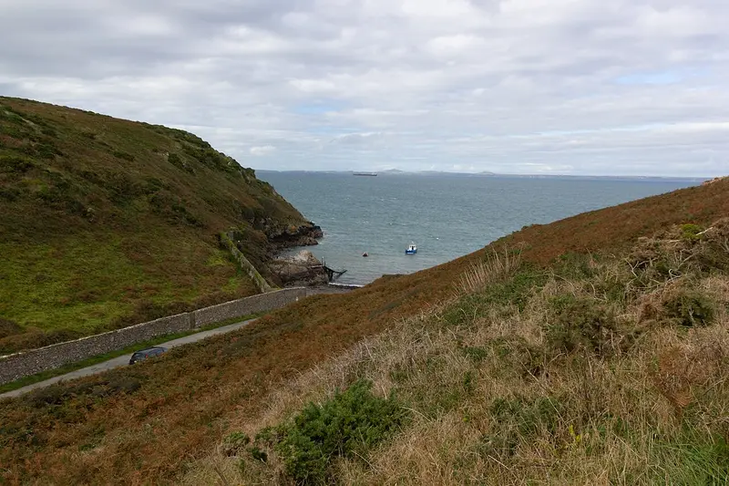
- Distance
- 5.1 miles
- Time
- 2 hr 20 min
- Climb
- 591 ft
- Route
- Circular
- Difficulty
- Moderate
About this walk
A moderate 5.1-mile loop around Marloes, about two and a half hours.
This circular walk explores the Marloes Peninsula in Pembrokeshire, heading over farmland before joining the Wales Coast Path as it runs around the heath-covered headland. Along the way you'll cross what's left of a couple of Iron Age forts, and it's worth keeping an eye out for seals, porpoises and seabirds offshore. It's 5.1 miles with about 591 ft of climbing, so allow roughly two hours and twenty minutes. Rated moderate, it suits walkers with reasonable fitness who want a varied coastal outing with plenty of wildlife.
Route waymarked by National Trust, mapped by OpenStreetMap contributors.
Near the start
- Café
- Runwayskiln Café, 1.3 miles from the start
- Toilets
- Martin's Haven, at the start
- Stiles
- None mapped on the route
Good to know
- Hills
- Flat
Photos
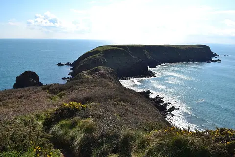
Gateholm — Photo: Deborah Tilley, CC BY-SA 2.0 (Wikimedia Commons)
More walks near Marloes
Southwood Estate Coast to Coast Walk
Roch · 9.8 miles away
2.8 miles · 1 hr 15 min · Circular
- Circular
- Coastal
- Café or pub nearby
Treginnis Walk from Porthclais
Rhosson Ganol · 10.3 miles away
6.4 miles · 2 hr 50 min · Circular
- Circular
- Coastal
- Café or pub nearby

Porthgain to Abereiddi Coastal Walk
Porthgain · 15 miles away
3.7 miles · 1 hr 45 min · Circular
- Circular
- Coastal
- Café or pub nearby
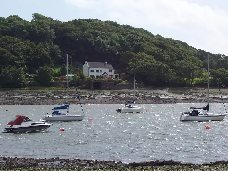
Lawrenny Walk
Lawrenny Quay · 15.8 miles away
2.8 miles · 1 hr 20 min · Circular
- Circular
- Coastal
- Woodland
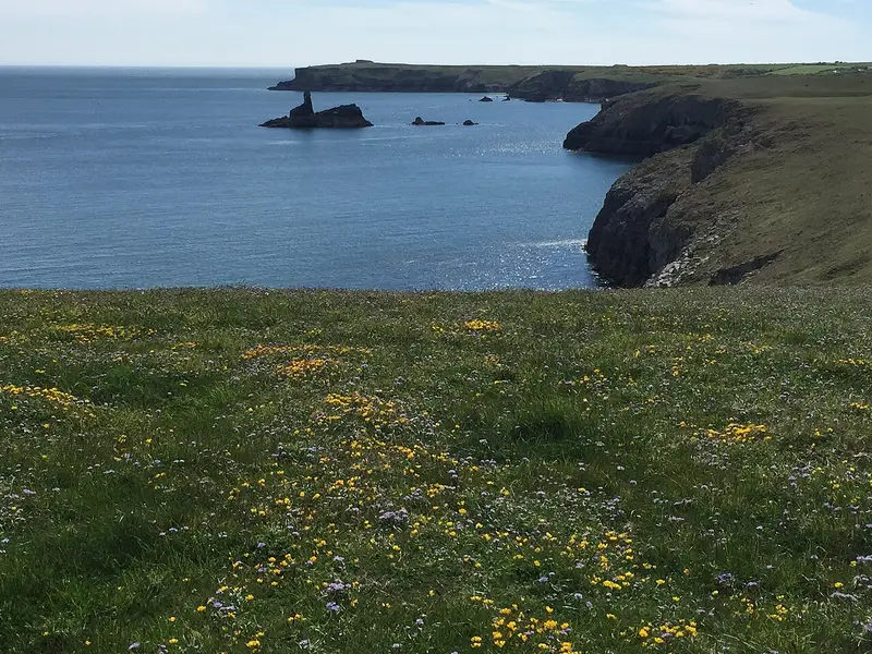
Stackpole Estate Wildlife Walk
Bosherston · 15.8 miles away
6.2 miles · 2 hr 45 min · Circular
- Circular
- Coastal
- Woodland

DInas Island Circular Walk
Pwllgwaelod · 24.5 miles away
3 miles · 1 hr 35 min · Circular
- Circular
- Coastal
- No stiles
Walk Marloes Peninsula Coastal Walk with Lead On
Save it to your walks and Lead On will suggest it on a day it suits: the right weather, the right tide and the time you have. It tracks the route as you go, even with your phone locked.