Lawrenny Walk
Lawrenny Quay, PembrokeshireWalks in Pembrokeshire
- Distance
- 2.8 miles
- Time
- 1 hr 20 min
- Climb
- 348 ft
- Route
- Circular
- Difficulty
- Easy
About this walk
An easy 2.8-mile loop around Lawrenny Quay, about an hour and a half.
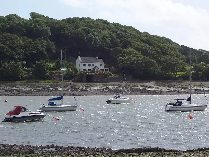
This 2.8-mile circular walk begins at the Lawrenny Arms on Lawrenny Quay, well up the estuary from Milford Haven. It loops through old oak woods on steep valley slopes, with views over the Daugleddau River and the tidal inlets of Garron Pill and Cresswell, edged by salt marsh and mudflats. Allow about 80 minutes. There's around 348 ft of climbing, but it's rated easy and no stiles are mapped. The Quayside café is 250 m from the start. It suits anyone after a short, gentle woodland and river walk.
Route waymarked by National Trust, mapped by OpenStreetMap contributors.
Near the start
- Café
- Quayside, 250 m from the start
- Pub
- Lawrenny Arms, at the start
- Stiles
- None mapped on the route
- Woodland
- About 50% of the route
Good to know
- Hills
- Flat
More walks near Lawrenny Quay

Stackpole Estate Wildlife Walk
Bosherston · 7.7 miles away
6.2 miles · 2 hr 45 min · Circular
- Circular
- Coastal
- Woodland
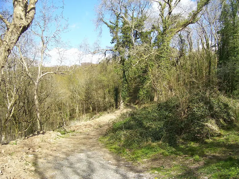
Colby Estate Streamside Walk
Amroth · 9 miles away
2.9 miles · 1 hr 20 min · Circular
- Circular
- Woodland
- Café or pub nearby
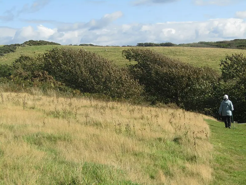
Southwood Estate Coast to Coast Walk
Roch · 13.2 miles away
2.8 miles · 1 hr 15 min · Circular
- Circular
- Coastal
- Café or pub nearby
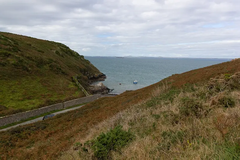
Marloes Peninsula Coastal Walk
Marloes · 15.8 miles away
5.1 miles · 2 hr 20 min · Circular
- Circular
- Coastal
- Café or pub nearby

Porthgain to Abereiddi Coastal Walk
Porthgain · 20.4 miles away
3.7 miles · 1 hr 45 min · Circular
- Circular
- Coastal
- Café or pub nearby

DInas Island Circular Walk
Pwllgwaelod · 20.9 miles away
3 miles · 1 hr 35 min · Circular
- Circular
- Coastal
- No stiles
Walk Lawrenny Walk with Lead On
Save it to your walks and Lead On will suggest it on a day it suits: the right weather, the right tide and the time you have. It tracks the route as you go, even with your phone locked.