Walk Round Thorpe Cloud
Thorpe, StaffordshireWalks in Staffordshire

- Distance
- 2.1 miles
- Time
- 1 hr 5 min
- Climb
- 508 ft
- Route
- Circular
- Difficulty
- Easy
About this walk
An easy 2.1-mile loop around Thorpe, about an hour.
Route waymarked by National Trust, mapped by OpenStreetMap contributors.
Near the start
- Toilets
- at the start
- Stiles
- 1 mapped on the route
Good to know
- Hills
- Flat
Photos
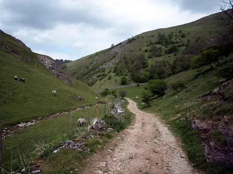
Lin Dale looking towards Dovedale — Photo: Tim Marshall, CC BY-SA 2.0 (Wikimedia Commons)
More walks near Thorpe
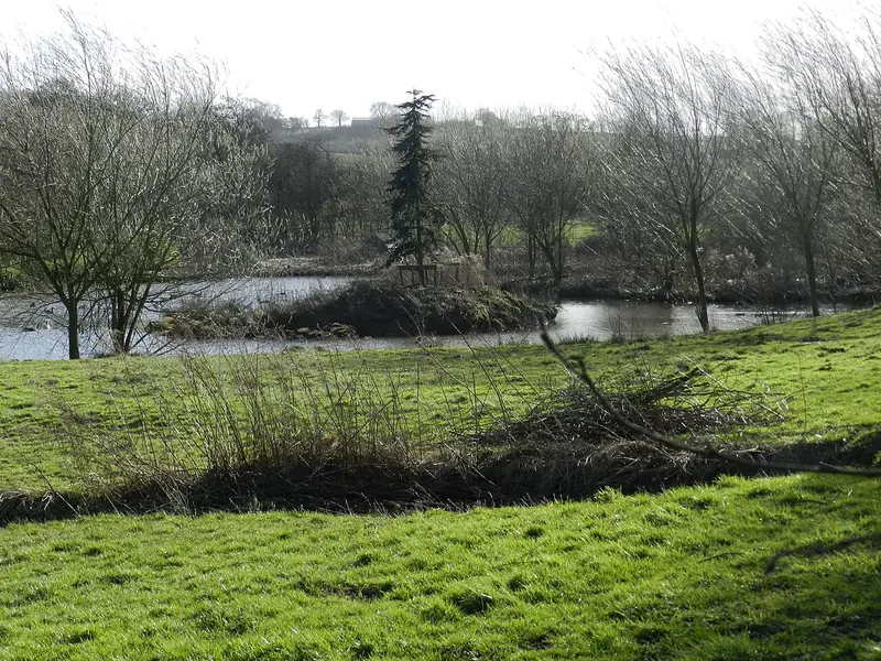
Amber Valley
Mugginton · 9.2 miles away
5.1 miles · 2 hr 15 min · Circular
- Circular
- Café or pub nearby
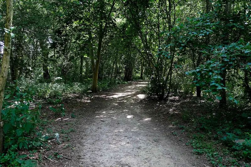
Long Walk, Kedleston Hall
Quarndon · 12.2 miles away
3.3 miles · 1 hr 25 min · Circular
- Circular
- Woodland
- Café or pub nearby
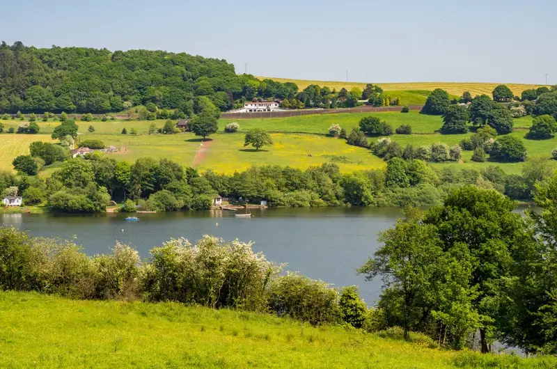
Rudyard Lake
Rudyard · 12.9 miles away
5 miles · 3 hr 25 min · Circular
- Circular
- Café or pub nearby
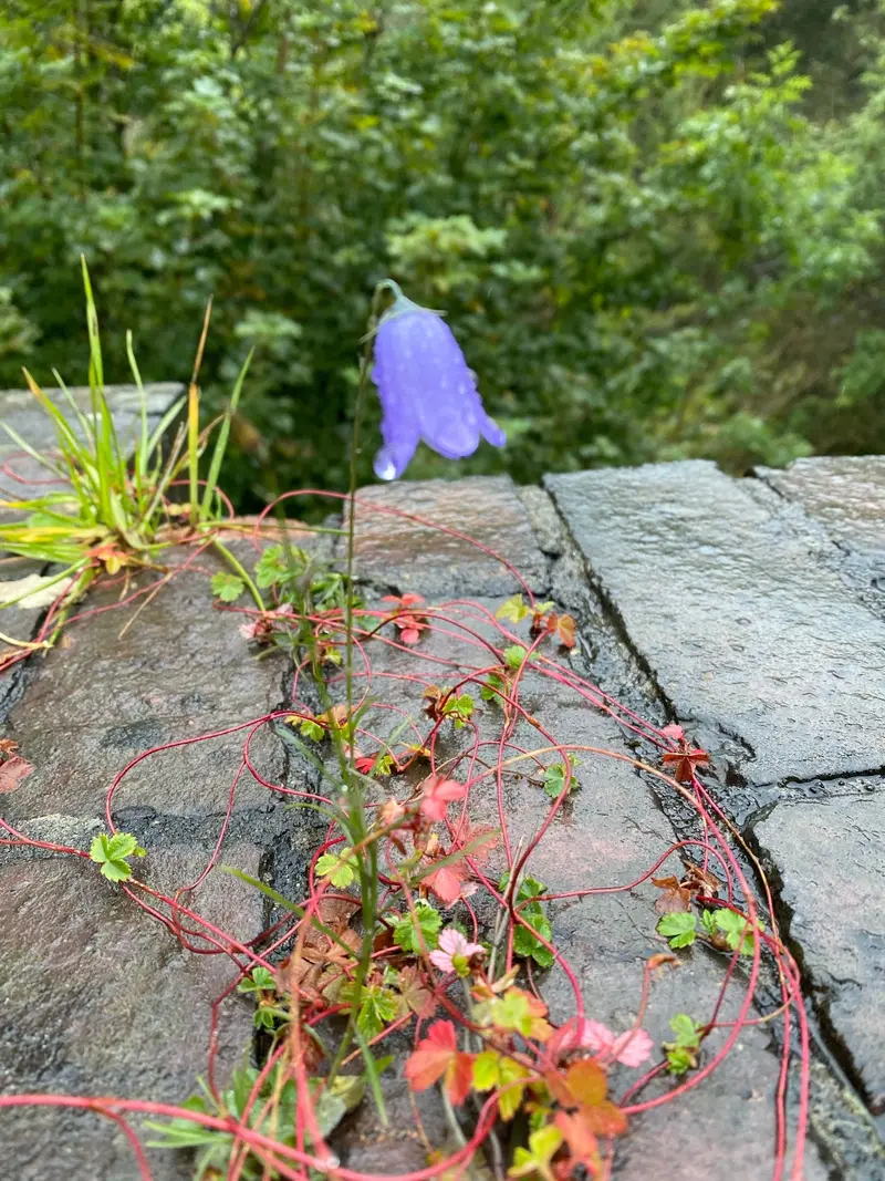
Monsal Trail - Blackwell Mill
Blackwell in the Peak CP · 13.6 miles away
2.1 miles · 55 min · One way
- Woodland
- Café or pub nearby
- No stiles
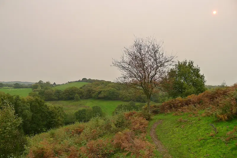
Downs Banks Edges Walk
Oulton · 17.7 miles away
2.4 miles · 1 hr 10 min · Circular
- Circular
- Café or pub nearby
- No stiles
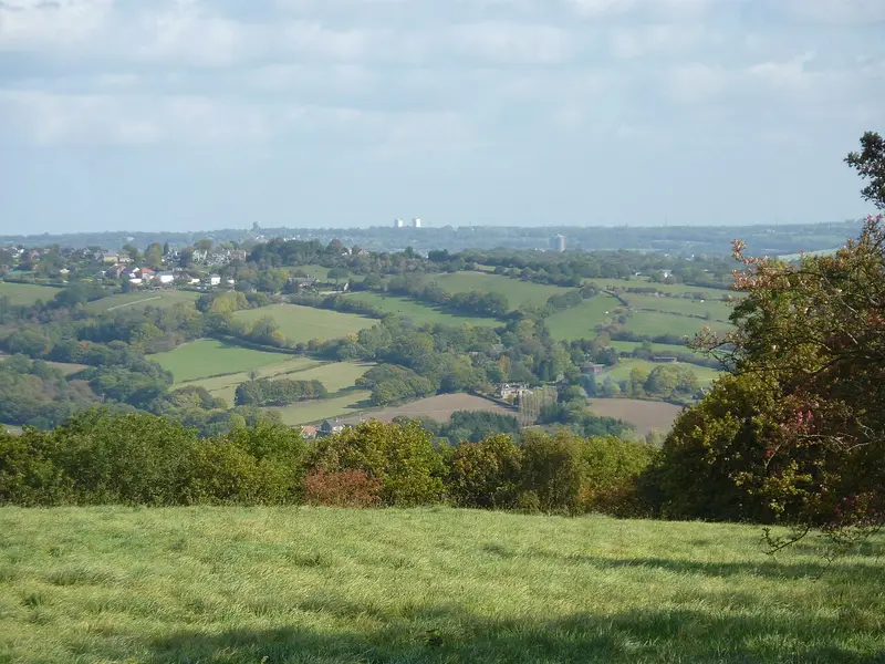
Linacre and Cordwell Valleys Circular Walk
Old Brampton · 17.9 miles away
9.5 miles · 4 hr 25 min · Circular
- Circular
- Café or pub nearby
Walk Walk Round Thorpe Cloud with Lead On
Save it to your walks and Lead On will suggest it on a day it suits: the right weather, the right tide and the time you have. It tracks the route as you go, even with your phone locked.