Downs Banks Edges Walk
Oulton, StaffordshireWalks in Staffordshire
- Distance
- 2.4 miles
- Time
- 1 hr 10 min
- Climb
- 339 ft
- Route
- Circular
- Difficulty
- Easy
About this walk
An easy 2.4-mile loop around Oulton, about an hour.
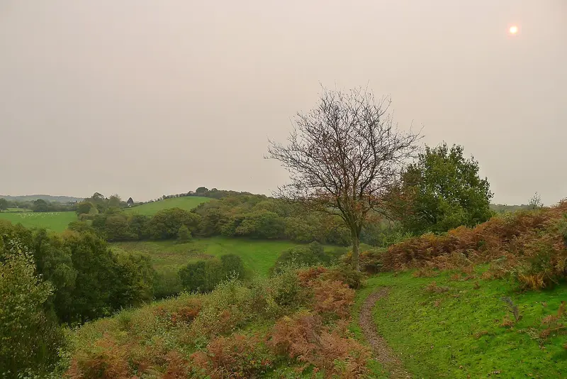
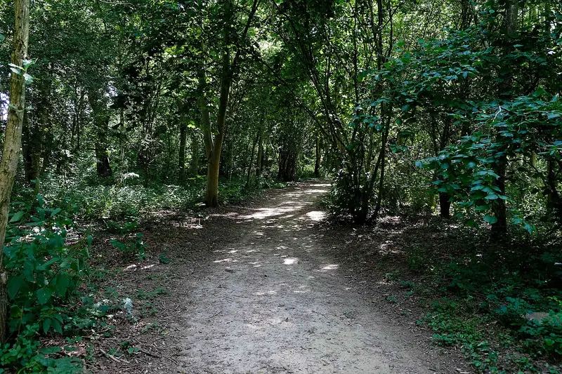
This circular walk near Oulton traces the edges of Downs Banks over 2.4 miles, usually taking about 70 minutes. It rises and dips across hills and through tucked-away valleys, with rough, untamed ground to one side and open farmland on the other for much of the way. Expect a gently up-and-down route with around 339 ft of climbing in total. Some stretches are gravelly and a few are quite narrow, and parts can get muddy after rain. It's an easy outing that suits anyone wanting a short countryside loop with a bit of variety.
Route waymarked by National Trust, mapped by OpenStreetMap contributors.
Near the start
- Café
- Coffee n' Cones, 250 m from the start
- Stiles
- None mapped on the route
- Woodland
- About 30% of the route
Good to know
- Hills
- Flat
More walks near Oulton
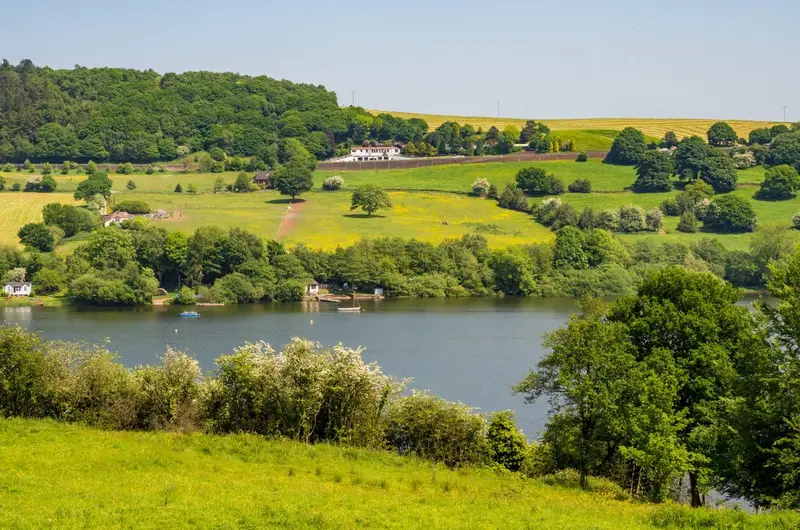
Rudyard Lake
Rudyard · 13.8 miles away
5 miles · 3 hr 25 min · Circular
- Circular
- Café or pub nearby

Walk Round Thorpe Cloud
Thorpe · 17.7 miles away
2.1 miles · 1 hr 5 min · Circular
- Circular
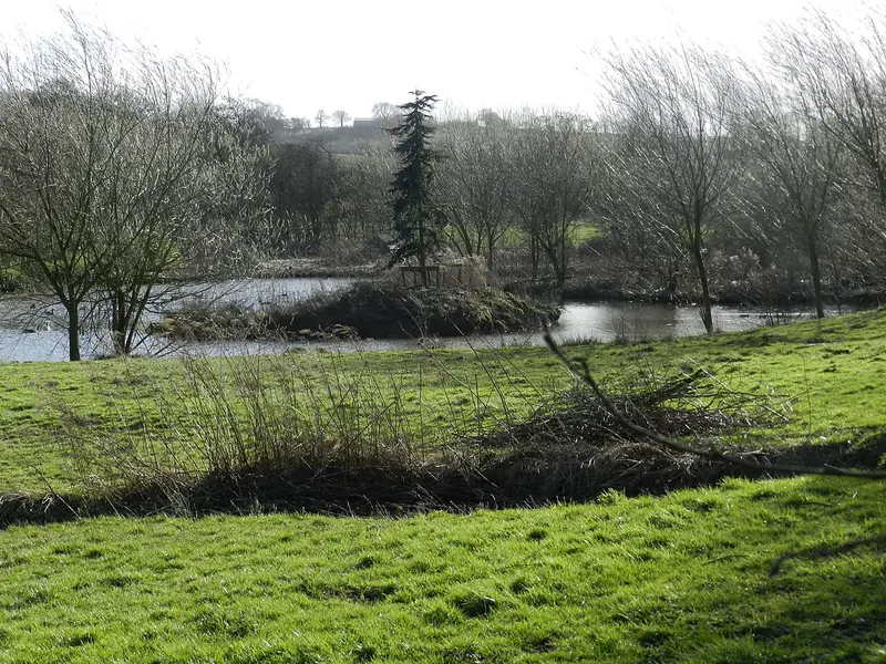
Amber Valley
Mugginton · 23.9 miles away
5.1 miles · 2 hr 15 min · Circular
- Circular
- Café or pub nearby
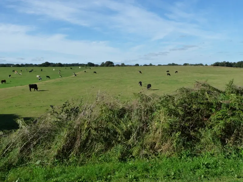
Mosses Trail Purple
Whixall · 25.2 miles away
3.2 miles · 1 hr 20 min · Circular
- Circular
- No stiles
Long Walk, Kedleston Hall
Quarndon · 25.6 miles away
3.3 miles · 1 hr 25 min · Circular
- Circular
- Woodland
- Café or pub nearby
Monsal Trail - Blackwell Mill
Blackwell in the Peak CP · 25.8 miles away
2.1 miles · 55 min · One way
- Woodland
- Café or pub nearby
- No stiles
Walk Downs Banks Edges Walk with Lead On
Save it to your walks and Lead On will suggest it on a day it suits: the right weather, the right tide and the time you have. It tracks the route as you go, even with your phone locked.