Wray to Blelham Tarn Circular Walk
High Wray, Westmorland and FurnessWalks in Cumbria
- Distance
- 3.6 miles
- Time
- 1 hr 40 min
- Climb
- 427 ft
- Route
- Circular
- Difficulty
- Easy
About this walk
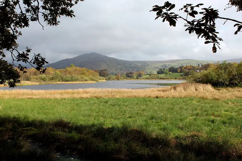
An easy 3.6-mile loop around High Wray, about an hour and a half.
This easy circular walk of 3.6 miles sets off from Wray Castle, heads out to Blelham Tarn and comes back along the shore of Windermere. Expect around 100 minutes on your feet, with 427 ft of climbing in total. You'll get lake views and a sense of the area's long history, stretching from the Ice Age through medieval monks to the Victorians. Roughly a tenth of the route runs through woodland. There's one stile, and the lower ground gets boggy after rain. Joey's Café and toilets are both about 200 m from the start. It's a good fit for anyone wanting a gentle, varied lakeside stroll.
Route waymarked by National Trust, mapped by OpenStreetMap contributors.
Near the start
- Café
- Joey's Café, 200 m from the start
- Toilets
- 200 m from the start
- Stiles
- 1 mapped on the route
- Woodland
- About 20% of the route
Good to know
- Hills
- Flat
More walks near High Wray
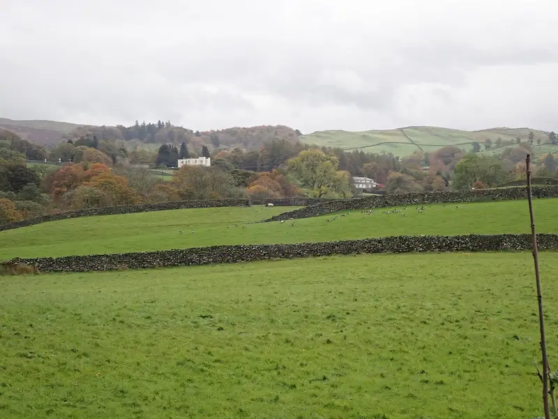
Townend and Troutbeck Valley Walk
Troutbeck · 2.2 miles away
3.5 miles · 1 hr 45 min · Circular
- Circular
- Woodland
- Café or pub nearby
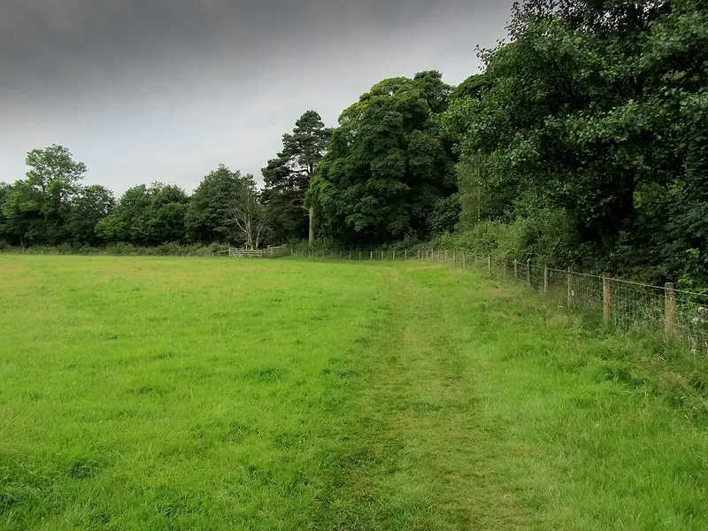
Yewdale Valley walk
Holme Ground · 3.5 miles away
4.6 miles · 2 hr 15 min · Circular
- Circular
- Café or pub nearby
- No stiles
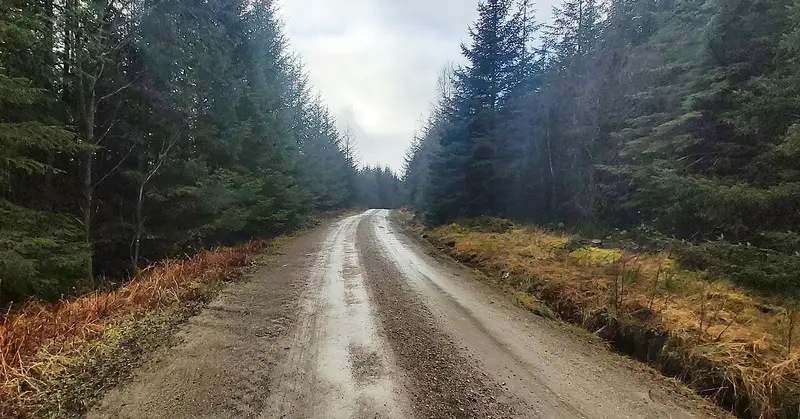
Carron Crag Trail
Grizedale · 4.7 miles away
4.8 miles · 2 hr 20 min · Circular
- Circular
- Woodland
- Café or pub nearby

Alcock Tarn Walk
Grasmere · 5.1 miles away
3.4 miles · 1 hr 55 min · Circular
- Circular
- Café or pub nearby
- No stiles
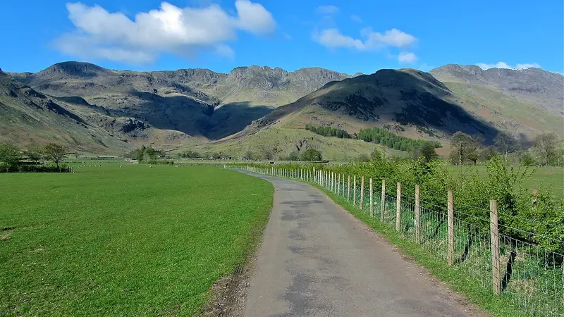
Mickleden Valley Trail
Raw Head · 6.5 miles away
3.7 miles · 1 hr 40 min · There and back
- Café or pub nearby
- No stiles
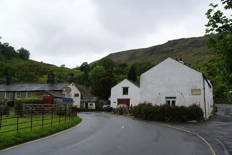
Castle Crag from Seatoller Trail: The Scenic Route
Seatoller · 11.4 miles away
4.8 miles · 2 hr 20 min · Circular
- Circular
- Woodland
- Café or pub nearby
Walk Wray to Blelham Tarn Circular Walk with Lead On
Save it to your walks and Lead On will suggest it on a day it suits: the right weather, the right tide and the time you have. It tracks the route as you go, even with your phone locked.