Alcock Tarn Walk
Grasmere, Westmorland and FurnessWalks in Cumbria

- Distance
- 3.4 miles
- Time
- 1 hr 55 min
- Climb
- 1064 ft
- Route
- Circular
- Difficulty
- Moderate
About this walk
A moderate 3.4-mile loop around Grasmere, about two hours.
This 3.4-mile circular leaves Grasmere and heads up to Alcock Tarn, a small tarn that makes a good lunch stop. The path winds through woodland, opening out to views over the valley, its lakes and the surrounding fells, with traces of the area's mining and coffin-bearing past along the way. Expect about 1,064 ft of climbing, steep in places, though no stiles are mapped. Allow around two hours. A café, shop, toilets and pub are all within 550 m of the start. It suits fairly fit walkers wanting a moderate outing.
Route waymarked by National Trust, mapped by OpenStreetMap contributors.
Near the start
- Café
- YHA Cafe, 200 m from the start
- Pub
- 1769 Bar & Restaurant, 550 m from the start
- Shop
- Co-op, 350 m from the start
- Toilets
- 500 m from the start
- Stiles
- None mapped on the route
Good to know
- Hills
- Some hills
Photos
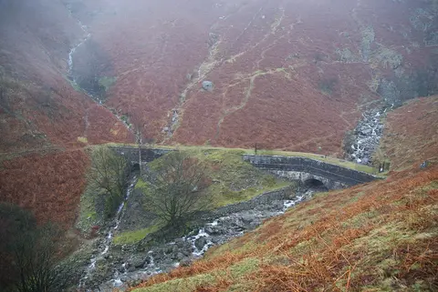
Tributary from Stone Arthur joining Greenhead Gill — Photo: Bill Boaden, CC BY-SA 2.0 (Wikimedia Commons) 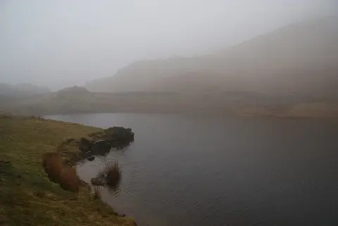
Alcock Tarn — Photo: Bill Boaden, CC BY-SA 2.0 (Wikimedia Commons) 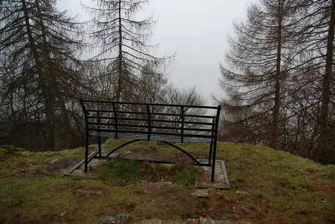
Bench with a view above Grasmere — Photo: Bill Boaden, CC BY-SA 2.0 (Wikimedia Commons)
More walks near Grasmere
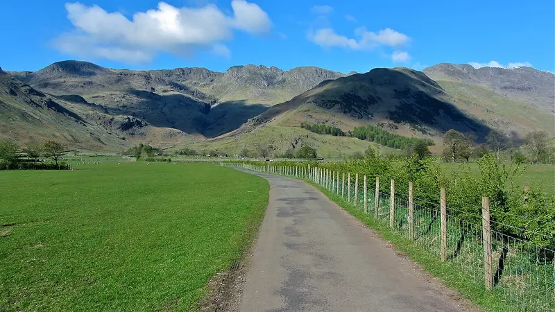
Mickleden Valley Trail
Raw Head · 3.5 miles away
3.7 miles · 1 hr 40 min · There and back
- Café or pub nearby
- No stiles
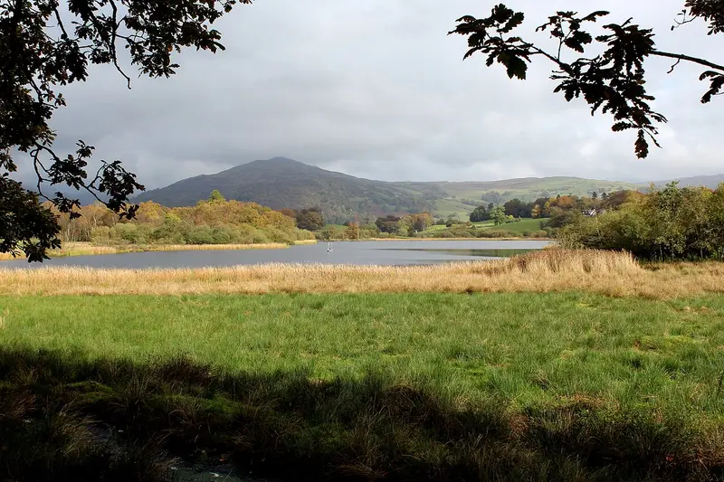
Wray to Blelham Tarn Circular Walk
High Wray · 5.1 miles away
3.6 miles · 1 hr 40 min · Circular
- Circular
- Café or pub nearby
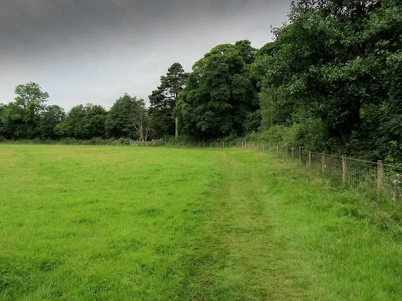
Yewdale Valley walk
Holme Ground · 5.2 miles away
4.6 miles · 2 hr 15 min · Circular
- Circular
- Café or pub nearby
- No stiles
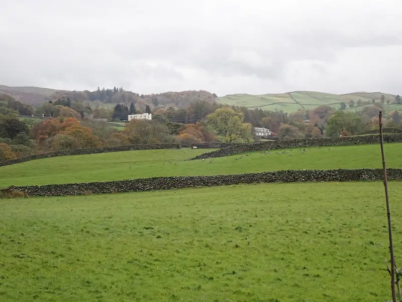
Townend and Troutbeck Valley Walk
Troutbeck · 5.5 miles away
3.5 miles · 1 hr 45 min · Circular
- Circular
- Woodland
- Café or pub nearby
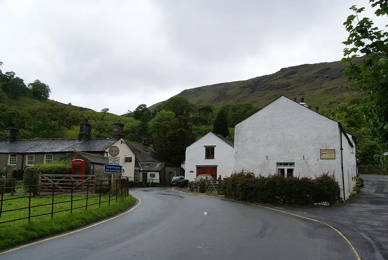
Castle Crag from Seatoller Trail: The Scenic Route
Seatoller · 6.7 miles away
4.8 miles · 2 hr 20 min · Circular
- Circular
- Woodland
- Café or pub nearby
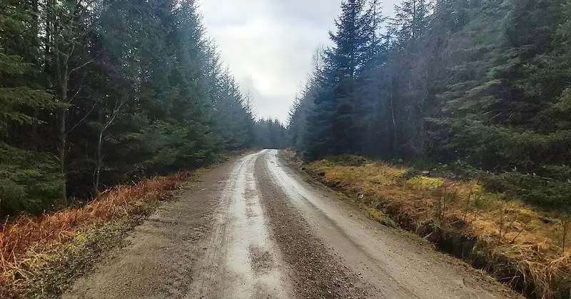
Carron Crag Trail
Grizedale · 8.5 miles away
4.8 miles · 2 hr 20 min · Circular
- Circular
- Woodland
- Café or pub nearby
Walk Alcock Tarn Walk with Lead On
Save it to your walks and Lead On will suggest it on a day it suits: the right weather, the right tide and the time you have. It tracks the route as you go, even with your phone locked.