Woolbeding, River Rother and Midhurst Walk
Midhurst, West SussexWalks in West Sussex
- Distance
- 2.8 miles
- Time
- 1 hr 15 min
- Climb
- 216 ft
- Route
- Circular
- Difficulty
- Easy
About this walk
An easy 2.8-mile loop around Midhurst, about an hour and a half.
This easy circular walk near Midhurst covers 2.8 miles and takes about 75 minutes. It heads out through the parkland of the Woolbeding Estate, then follows the River Rother, where old trees line the banks. Along the way you'll pass a poplar plantation and should hear the weir as you go. The route finishes back on Midhurst's main street, which has cafés and pubs for a break afterwards. There's only 216 ft of climbing in total. It suits anyone after a short, relaxed countryside stroll.
Route waymarked by National Trust, mapped by OpenStreetMap contributors.
Near the start
- Café
- Fitzcane's, at the start
- Pub
- The Wheatsheaf, 350 m from the start
- Shop
- Midhurst Bakery, at the start
- Toilets
- at the start
- Stiles
- None mapped on the route
- Woodland
- About 10% of the route
Good to know
- Hills
- Flat
More walks near Midhurst
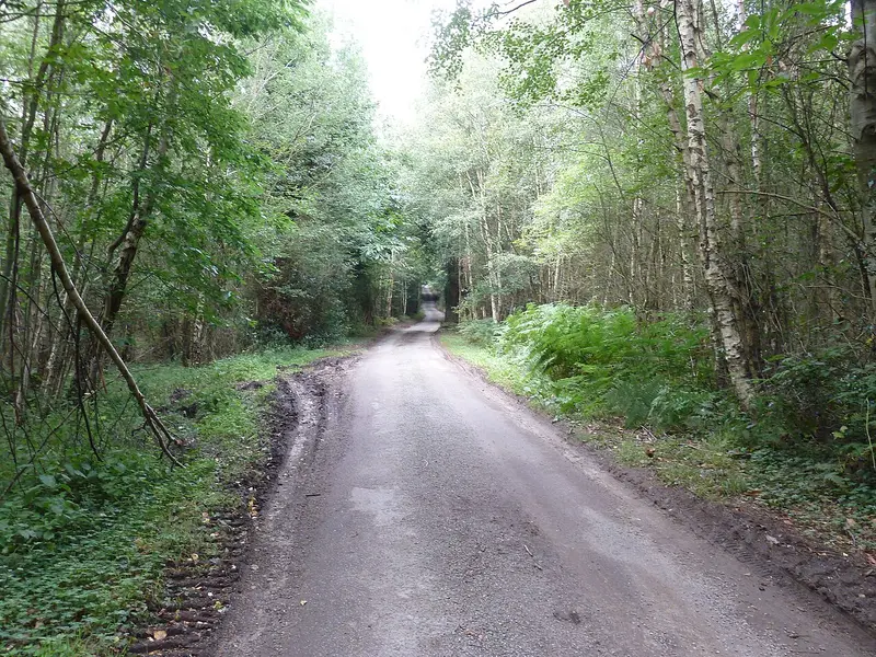
Woolbeding Landscapes Walk
Redford · 2.8 miles away
6 miles · 2 hr 45 min · Circular
- Circular

Petworth Ancient Trees Walk
Petworth · 5.1 miles away
3.7 miles · 1 hr 45 min · Circular
- Circular
- No stiles
Hat Hill to Levin Down walk
Singleton · 5.5 miles away
4.9 miles · 2 hr 20 min · Circular
- Circular
- Café or pub nearby
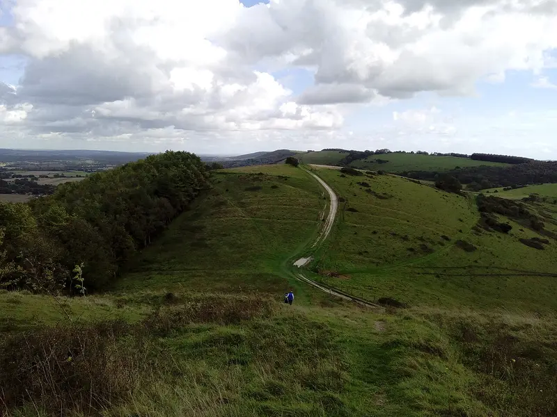
Harting Down Wildlife Walk
South Harting · 6.4 miles away
3.8 miles · 1 hr 50 min · Circular
- Circular
- No stiles
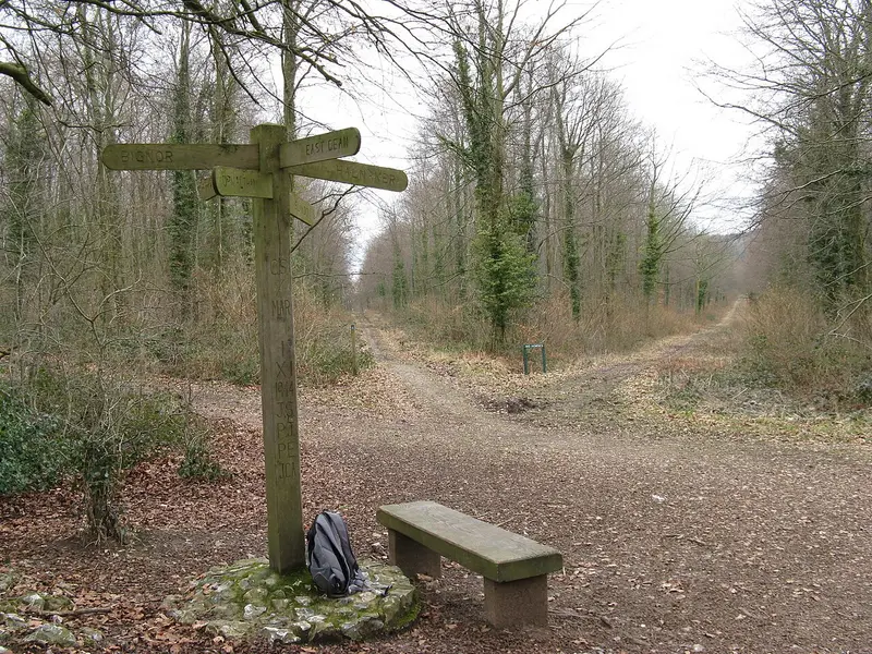
The Rise of Northwood Ramble
Eartham · 7.6 miles away
3.3 miles · 1 hr 30 min · Circular
- Circular
- Woodland
- No stiles
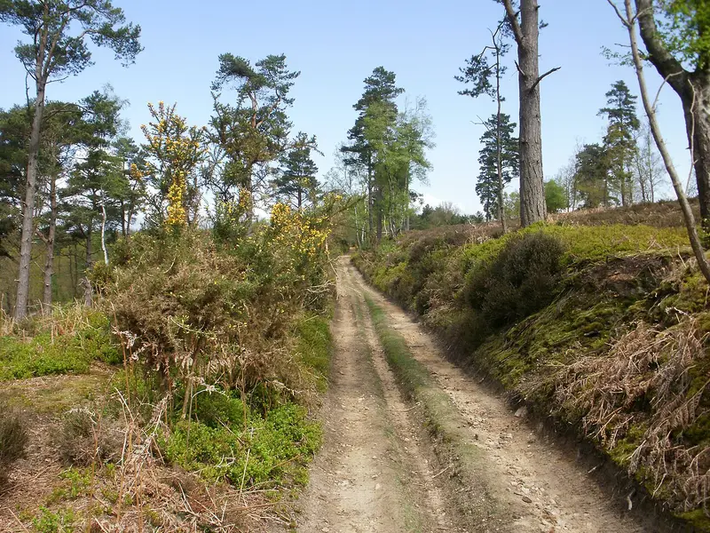
Hindhead Commons and the Devil's Punch Bowl
Hindhead · 8.7 miles away
6.9 miles · 3 hr 10 min · Circular
- Circular
- Woodland
- Café or pub nearby
Walk Woolbeding, River Rother and Midhurst Walk with Lead On
Save it to your walks and Lead On will suggest it on a day it suits: the right weather, the right tide and the time you have. It tracks the route as you go, even with your phone locked.