Hindhead Commons and the Devil's Punch Bowl
Hindhead, SurreyWalks in Surrey
- Distance
- 6.9 miles
- Time
- 3 hr 10 min
- Climb
- 824 ft
- Route
- Circular
- Difficulty
- Moderate
About this walk
A moderate 6.9-mile loop around Hindhead, about three hours.
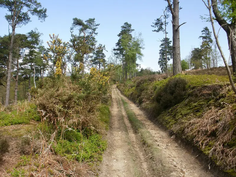
This circular walk starts by the Devil's Punch Bowl Café in Hindhead and loops for 6.9 miles across Hindhead Commons. Along the way you'll take in the Devil's Punch Bowl itself, climb up to Gibbet Hill and pass the Four Winds temple. Expect about 824 ft of ascent in total, so allow roughly three hours and ten minutes. There are no stiles mapped on the route. Toilets and the café are at the start, and Royal Parade Stores is 350 m away. It's a good choice for reasonably fit walkers after a moderate half-day outing.
Route waymarked by National Trust, mapped by OpenStreetMap contributors.
Near the start
- Café
- Devil's Punch Bowl Café, at the start
- Shop
- Royal Parade Stores, 350 m from the start
- Toilets
- at the start
- Drinking water
- at the start
- Stiles
- None mapped on the route
- Woodland
- About 50% of the route
Good to know
- Hills
- Flat
Photos
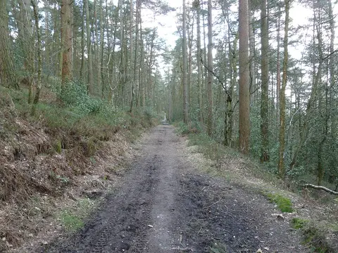
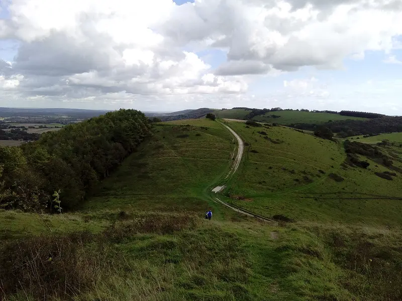
Looking back down the climb up Inval hill from the summit — Photo: Dave Spicer, CC BY-SA 2.0 (Wikimedia Commons)
More walks near Hindhead
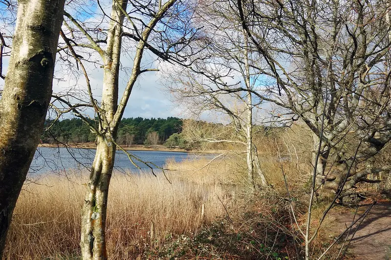
Frensham Little Pond Family Walk
Frensham · 4.3 miles away
2.2 miles · 55 min · Circular
- Circular
- Woodland
- Café or pub nearby
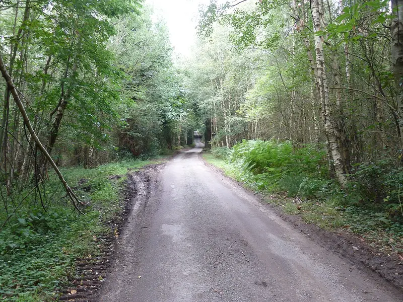
Woolbeding Landscapes Walk
Redford · 6.2 miles away
6 miles · 2 hr 45 min · Circular
- Circular
Woolbeding, River Rother and Midhurst Walk
Midhurst · 8.7 miles away
2.8 miles · 1 hr 15 min · Circular
- Circular
- Café or pub nearby
- No stiles

Petworth Ancient Trees Walk
Petworth · 8.8 miles away
3.7 miles · 1 hr 45 min · Circular
- Circular
- No stiles
Harting Down Wildlife Walk
South Harting · 12.6 miles away
3.8 miles · 1 hr 50 min · Circular
- Circular
- No stiles
Hat Hill to Levin Down walk
Singleton · 14.1 miles away
4.9 miles · 2 hr 20 min · Circular
- Circular
- Café or pub nearby
Walk Hindhead Commons and the Devil's Punch Bowl with Lead On
Save it to your walks and Lead On will suggest it on a day it suits: the right weather, the right tide and the time you have. It tracks the route as you go, even with your phone locked.