Bridle Road to Bignor Walk
Slindon, West SussexWalks in West Sussex
- Distance
- 6.6 miles
- Time
- 3 hr
- Climb
- 725 ft
- Route
- Circular
- Difficulty
- Moderate
About this walk
A moderate 6.6-mile loop around Slindon, about three hours.
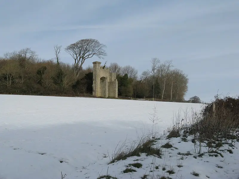
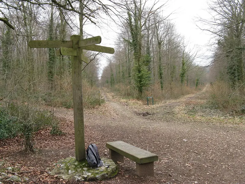
This circular walk on the South Downs starts on Bridle Road at Slindon and heads out towards Bignor. You'll follow Stane Street, an old Roman road, and pass Gumber Corner before crossing The Gallops and Great Bottom, where there's a good place for a picnic. Look out for Shippams Poste, the Six-Ways signpost, Eartham Woods, pyramidal orchids and the beeches and folly on Nore Hill. It's 6.6 miles with 725 ft of climbing, so allow about three hours. Dogs are welcome. It suits walkers happy with a moderate half-day outing.
Route waymarked by National Trust, mapped by OpenStreetMap contributors.
Near the start
- Stiles
- 2 mapped on the route
- Woodland
- About 60% of the route
Good to know
- Hills
- Flat
Photos
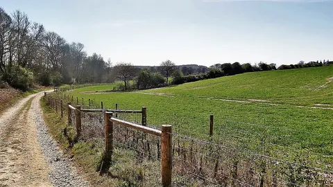
Bridleway heading SW towards Warren Barn — Photo: Ian Hawfinch, CC BY-SA 2.0 (Wikimedia Commons)
More walks near Slindon
Slindon medieval park pale and village walk
Slindon · 0.7 miles away
2.2 miles · 55 min · Circular
- Circular
- Woodland
- Café or pub nearby
The Rise of Northwood Ramble
Eartham · 1.5 miles away
3.3 miles · 1 hr 30 min · Circular
- Circular
- Woodland
- No stiles
Hat Hill to Levin Down walk
Singleton · 6 miles away
4.9 miles · 2 hr 20 min · Circular
- Circular
- Café or pub nearby

Petworth Ancient Trees Walk
Petworth · 8.9 miles away
3.7 miles · 1 hr 45 min · Circular
- Circular
- No stiles
Woolbeding, River Rother and Midhurst Walk
Midhurst · 9.1 miles away
2.8 miles · 1 hr 15 min · Circular
- Circular
- Café or pub nearby
- No stiles
Woolbeding Landscapes Walk
Redford · 11.9 miles away
6 miles · 2 hr 45 min · Circular
- Circular
Walk Bridle Road to Bignor Walk with Lead On
Save it to your walks and Lead On will suggest it on a day it suits: the right weather, the right tide and the time you have. It tracks the route as you go, even with your phone locked.