Langford Health Route
Bicester, OxfordshireWalks in Oxfordshire
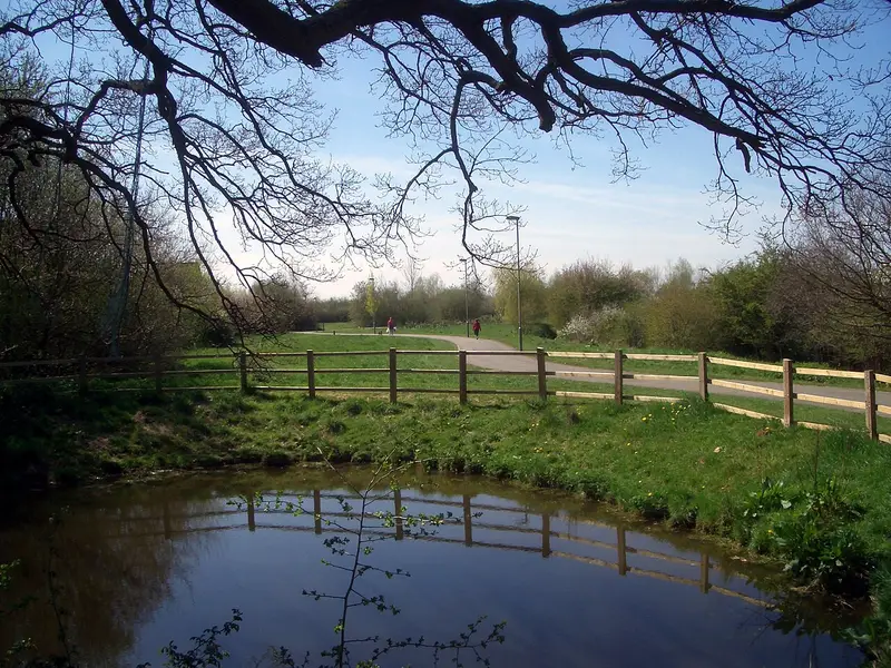
- Distance
- 3.1 miles
- Time
- 1 hr 15 min
- Climb
- 53 ft
- Route
- Circular
- Difficulty
- Easy
About this walk
An easy 3.1-mile loop around Bicester, about an hour and a half.
Route waymarked by Cherwell District Council, mapped by OpenStreetMap contributors.
Near the start
- Café
- FLTR Coffee, at the start
- Pub
- The Nightingale, 200 m from the start
- Shop
- Tesco Express, at the start
- Stiles
- None mapped on the route
Good to know
- Hills
- Flat
Photos
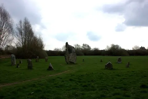
Stone circle, Bicester — Photo: Robert Eva, CC BY-SA 2.0 (Wikimedia Commons) 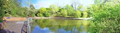
Jubilee Lake, Bicester — Photo: Len Williams, CC BY-SA 2.0 (Wikimedia Commons)
More walks near Bicester
Boundary Patrol
Forest Hill with Shotover · 10.3 miles away
3.3 miles · 1 hr 30 min · Circular
- Circular
- Woodland
- No stiles
Botley Health Routes - Purple
Botley · 11.8 miles away
3.8 miles · 1 hr 45 min · Circular
- Circular
- Dog-friendly café or pub
Adderbury Circular Walk
Bodicote · 12.3 miles away
3.2 miles · 1 hr 20 min · Circular
- Circular
- Café or pub nearby
Grimsbury 5km
Grimsbury · 14.4 miles away
2.9 miles · 1 hr 15 min · Circular
- Circular
- Café or pub nearby
- No stiles
Risborough Pink Route
Horsenden · 16.9 miles away
5.1 miles · 2 hr 5 min · Circular
- Circular
Coombe Hill and Chequers Trail
Ellesborough · 18.7 miles away
6.7 miles · 3 hr 10 min · Circular
- Circular
- Woodland
- No stiles
Walk Langford Health Route with Lead On
Save it to your walks and Lead On will suggest it on a day it suits: the right weather, the right tide and the time you have. It tracks the route as you go, even with your phone locked.