Risborough Pink Route
Horsenden, BuckinghamshireWalks in Buckinghamshire
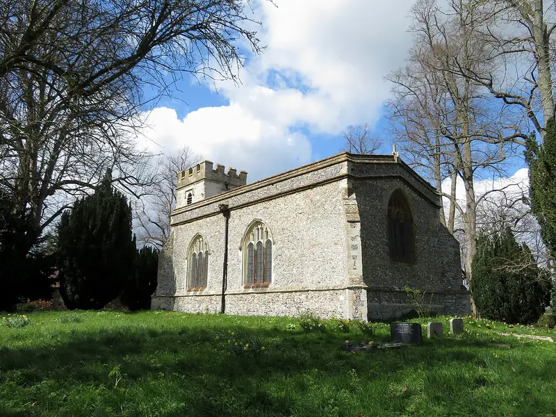
- Distance
- 5.1 miles
- Time
- 2 hr 5 min
- Climb
- 123 ft
- Route
- Circular
- Difficulty
- Moderate
About this walk
A moderate 5.1-mile loop around Horsenden, about two hours.
The Risborough Pink Route is a 5.1-mile circular walk in the Horsenden area, taking about 125 minutes. The waymarks only guide you one way round, so if you set off from Horsenden, head southwest first to follow them. There's just 123 feet of climbing across the whole loop, so the ascent is modest, though the distance makes it a moderate outing overall. It suits walkers who are comfortable covering a few miles and want a loop without much climbing.
Route waymarked by Risborough Countryside Group, mapped by OpenStreetMap contributors.
Near the start
- Stiles
- 2 mapped on the route
Good to know
- Hills
- Flat
Photos
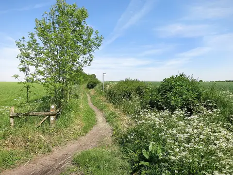
Swans and Midshires — Photo: Des Blenkinsopp, CC BY-SA 2.0 (Wikimedia Commons)
More walks near Horsenden
Coombe Hill and Chequers Trail
Ellesborough · 4.2 miles away
6.7 miles · 3 hr 10 min · Circular
- Circular
- Woodland
- No stiles
Coombe Hill Woodland Walk
Ellesborough · 4.4 miles away
3.5 miles · 1 hr 35 min · Circular
- Circular
- Woodland
Wycombe West Ridges and Bottoms walk
West Wycombe · 5.5 miles away
8.7 miles · 4 hr 5 min · Circular
- Circular
- Café or pub nearby
Walter's Wander
Wigginton · 9.6 miles away
2.2 miles · 1 hr · There and back
- Café or pub nearby
- No stiles
Woodland Walk
Wigginton · 9.8 miles away
2.5 miles · 1 hr 10 min · Circular
- Circular
- Woodland
- No stiles
Wild Trail
Pitstone · 11.3 miles away
2.1 miles · 55 min · Circular
- Circular
- Café or pub nearby
- No stiles
Walk Risborough Pink Route with Lead On
Save it to your walks and Lead On will suggest it on a day it suits: the right weather, the right tide and the time you have. It tracks the route as you go, even with your phone locked.