Cookham Wetland and Wildlife Trial
Cookham Rise, Royal Borough of Windsor and MaidenheadWalks in Berkshire
- Distance
- 2.9 miles
- Time
- 1 hr 10 min
- Climb
- 41 ft
- Route
- Circular
- Difficulty
- Easy
About this walk
An easy 2.9-mile loop around Cookham Rise, about an hour.
Follow this leisurely 2.8-mile circular walk south from Cookham Moor along the Strand Water, meeting up with White Brook stream and Widbrook Common before rejoining the moor. Level ground on soft footpaths. Area prone to flooding. No stiles.
Route waymarked by National Trust, mapped by OpenStreetMap contributors.
Near the start
- Café
- Cafe Parea, 300 m from the start
- Pub
- The Crown, 200 m from the start
- Shop
- Countrystore, 600 m from the start
- Toilets
- 450 m from the start
- Stiles
- None mapped on the route
Good to know
- Hills
- Flat
More walks near Cookham Rise
Wycombe West Ridges and Bottoms walk
West Wycombe · 7.2 miles away
8.7 miles · 4 hr 5 min · Circular
- Circular
- Café or pub nearby

Views Route
Wraysbury · 9.9 miles away
2.1 miles · 55 min · Circular
- Circular
- Woodland
- Café or pub nearby
Estate Walk
Rotherfield Greys · 10.3 miles away
2.4 miles · 1 hr 5 min · Circular
- Circular
- Woodland
- Café or pub nearby
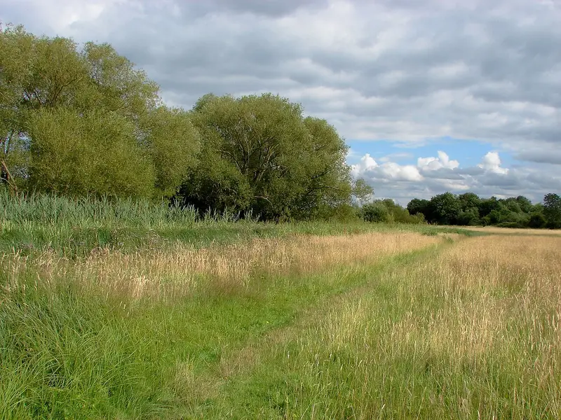
Egham to Runnymede Countryside Circular Walk
Egham · 11.3 miles away
3.1 miles · 1 hr 20 min · Circular
- Circular
- Café or pub nearby
- No stiles
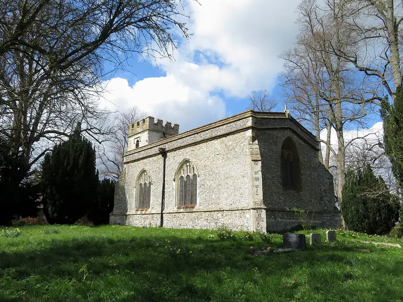
Risborough Pink Route
Horsenden · 12.6 miles away
5.1 miles · 2 hr 5 min · Circular
- Circular
Coombe Hill Woodland Walk
Ellesborough · 13.1 miles away
3.5 miles · 1 hr 35 min · Circular
- Circular
- Woodland
Walk Cookham Wetland and Wildlife Trial with Lead On
Save it to your walks and Lead On will suggest it on a day it suits: the right weather, the right tide and the time you have. It tracks the route as you go, even with your phone locked.