Ingleton Waterfalls Trail
Scar End, North YorkshireWalks in North Yorkshire
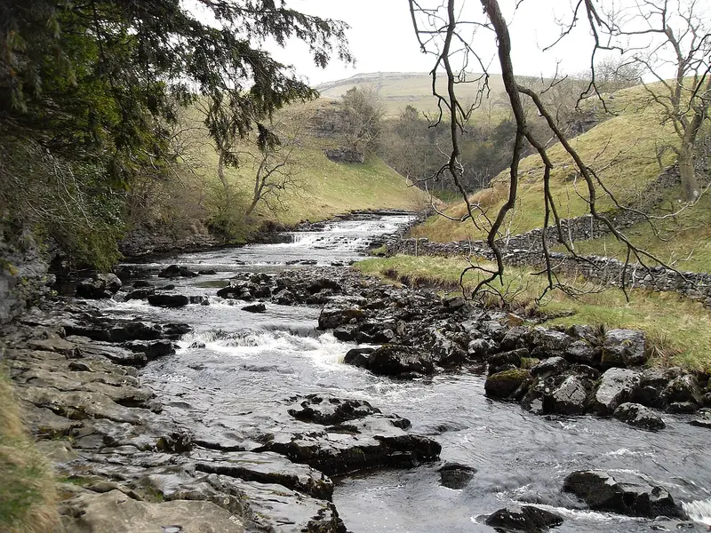
- Distance
- 4.2 miles
- Time
- 2 hr
- Climb
- 608 ft
- Route
- Circular
- Difficulty
- Moderate
About this walk
A moderate 4.2-mile loop around Scar End, about two hours.
Route, mapped by OpenStreetMap contributors.
Near the start
- Café
- The Falls Refreshment Centre, 400 m from the start
- Shop
- Bare Necessities, 1.2 miles from the start
- Toilets
- 400 m from the start
- Drinking water
- 1.2 miles from the start
- Stiles
- 1 mapped on the route
- Woodland
- About 50% of the route
Good to know
- Hills
- Flat
Photos
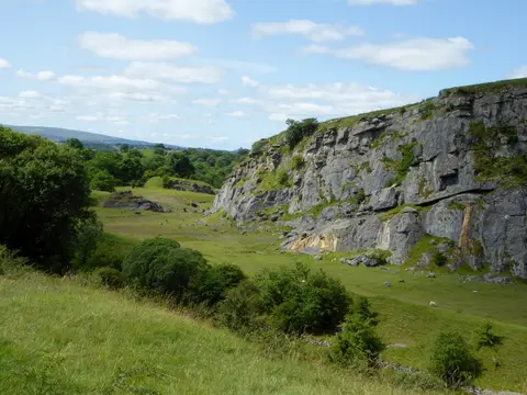
Disused quarry at Ingleton — Photo: Phil Platt, CC BY-SA 2.0 (Wikimedia Commons)
More walks near Scar End
Bentham Heritage
High Bentham · 4.5 miles away
3.8 miles · 1 hr 40 min · Circular
- Circular
- Café or pub nearby
Settle Loop
Settle · 10.6 miles away
10.1 miles · 4 hr 45 min · Circular
- Circular
- Dog-friendly café or pub
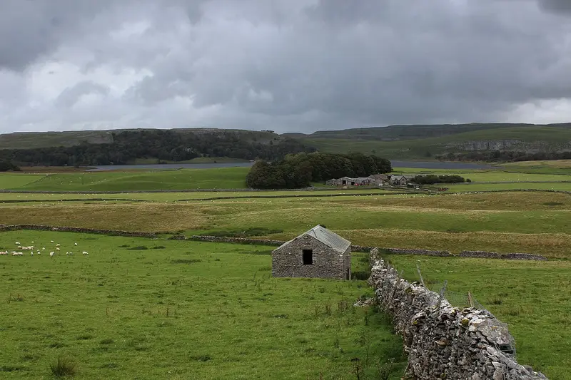
Malham Tarn Upland Farm Circular Walk
Water Houses · 12.4 miles away
4.2 miles · 1 hr 50 min · Circular
- Circular
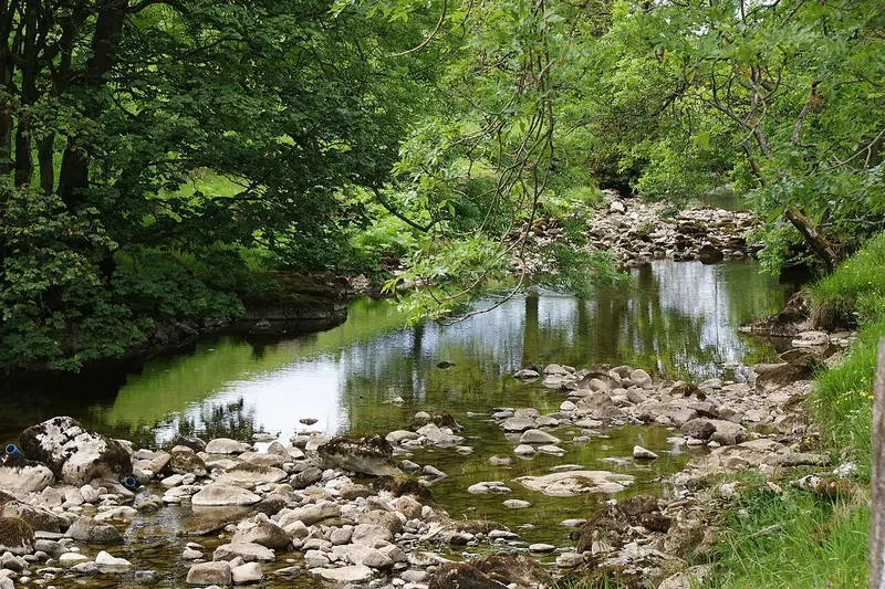
Horse Head Moor and Deepdale walk
Yockenthwaite · 12.8 miles away
6.3 miles · 3 hr 5 min · Circular
- Circular

Malham Tarn Archaeology walk
Water Houses · 13.4 miles away
5 miles · 2 hr 15 min · Circular
- Circular
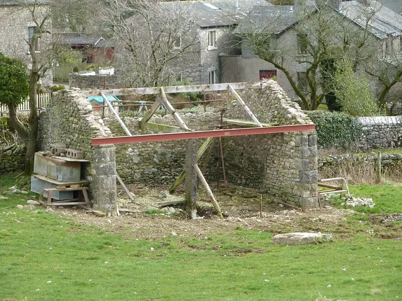
Heversham Trail
Milnthorpe · 13.6 miles away
2.6 miles · 1 hr 15 min · Circular
- Circular
- Café or pub nearby
Walk Ingleton Waterfalls Trail with Lead On
Save it to your walks and Lead On will suggest it on a day it suits: the right weather, the right tide and the time you have. It tracks the route as you go, even with your phone locked.