Slieve Donard Trail
Newcastle, Newry, Mourne and Down District

- Distance
- 5.8 miles
- Time
- 3 hr 35 min
- Climb
- 2475 ft
- Route
- There and back
- Difficulty
- Challenging
About this walk
A challenging 5.8-mile there-and-back near Newcastle, about three and a half hours.
This challenging there-and-back route starts in Newcastle and climbs Slieve Donard. The mountain takes its name from Saint Donard, or Domhanghart in Irish, who built a little prayer cell on the top in the fifth century. Pilgrims made the trip each late July right up to the 1830s. It's 5.8 miles with around 2,475 ft of ascent, so allow roughly three and a half hours. No stiles are mapped. There's a pub and toilets at the start, with a café and a Lidl close by. Best for fit, experienced hillwalkers.
Route waymarked by National Trust, mapped by OpenStreetMap contributors.
Near the start
- Café
- Niki's Kitchen Café, 150 m from the start
- Pub
- O'Hare's Pub, at the start
- Shop
- Lidl, 250 m from the start
- Toilets
- at the start
- Stiles
- None mapped on the route
- Woodland
- About 20% of the route
Good to know
- Hills
- Steep
More walks near Newcastle
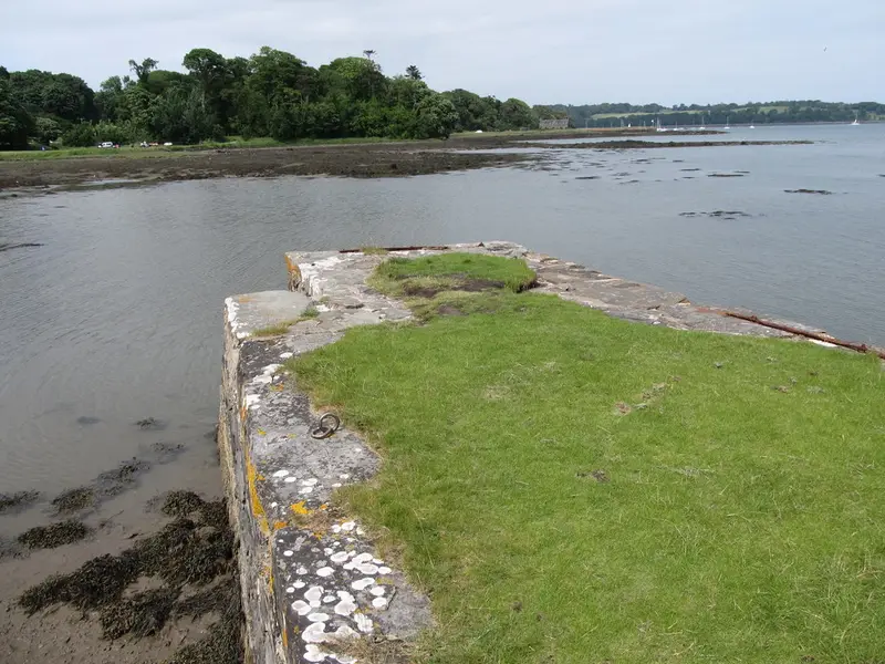
Castle Trail at Castle Ward
Strangford · 17.2 miles away
2 miles · 55 min · Circular
- Circular
- Coastal
- Woodland
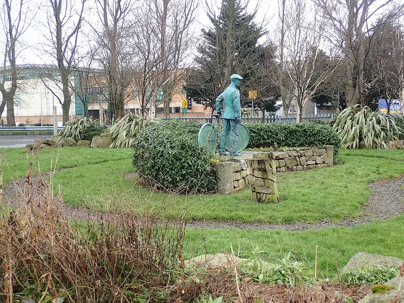
Highway to Health - Newry
Ballybot · 17.9 miles away
6.6 miles · 2 hr 45 min · Circular
- Circular
- Café or pub nearby
- No stiles
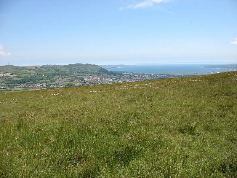
Ridge Trail
Hannahstown · 28 miles away
3.9 miles · 1 hr 50 min · Circular
- Circular
- Café or pub nearby
Walk Slieve Donard Trail with Lead On
Save it to your walks and Lead On will suggest it on a day it suits: the right weather, the right tide and the time you have. It tracks the route as you go, even with your phone locked.