Coed Forest Walk
Hightown, Wrexham
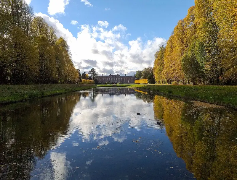
- Distance
- 3.3 miles
- Time
- 1 hr 25 min
- Climb
- 209 ft
- Route
- Circular
- Difficulty
- Easy
About this walk
An easy 3.3-mile loop around Hightown, about an hour and a half.
Route waymarked by National Trust, mapped by OpenStreetMap contributors.
Near the start
- Stiles
- None mapped on the route
- Woodland
- About 40% of the route
Good to know
- Hills
- Flat
More walks near Hightown
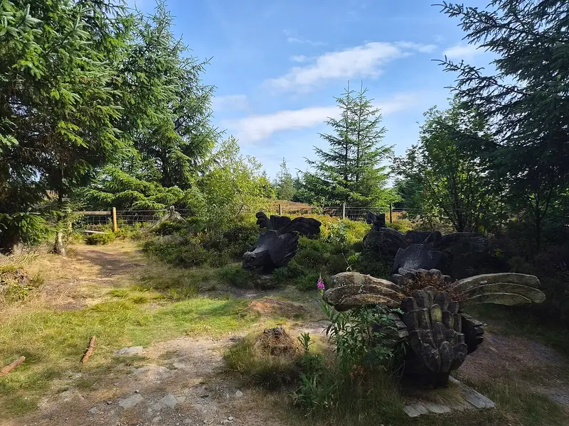
Long Walk Route
Bwlchgwyn · 6.4 miles away
6.6 miles · 3 hr 5 min · Circular
- Circular
- Woodland
- Café or pub nearby
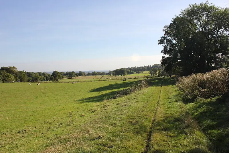
Battle of Crogen Circular Walk
Bronygarth · 8 miles away
2.2 miles · 1 hr 5 min · Circular
- Circular
- No stiles
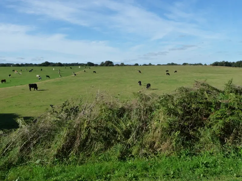
Mosses Trail Purple
Whixall · 12.8 miles away
3.2 miles · 1 hr 20 min · Circular
- Circular
- No stiles
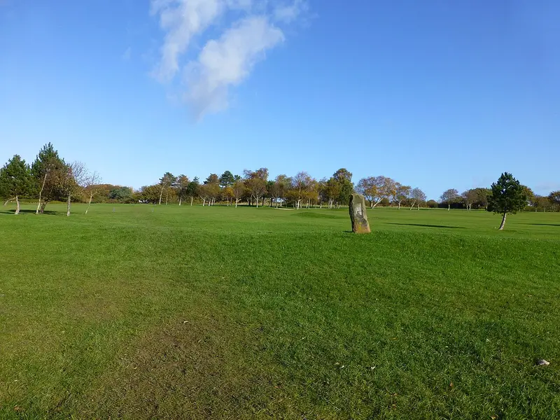
Parkgate Walk
Gayton · 19.9 miles away
3.3 miles · 1 hr 20 min · Circular
- Circular
- Coastal
- Café or pub nearby
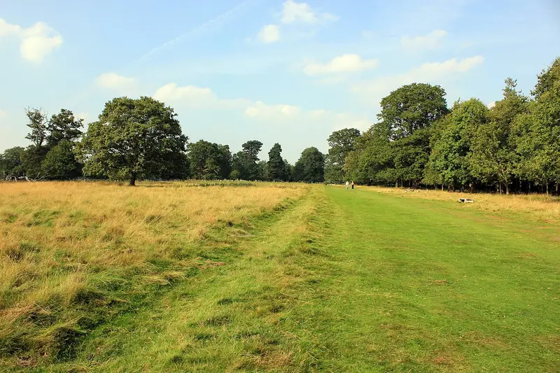
WWII Walk
Atcham · 27.3 miles away
3.4 miles · 1 hr 25 min · Circular
- Circular
- Woodland
- Café or pub nearby

Hendre Pleasure Drive
Pont Llogel · 28.3 miles away
6.1 miles · 2 hr 50 min · Circular
- Circular
- Woodland
- No stiles
Walk Coed Forest Walk with Lead On
Save it to your walks and Lead On will suggest it on a day it suits: the right weather, the right tide and the time you have. It tracks the route as you go, even with your phone locked.