Stanhope Burn Geotrail
Stanhope, County DurhamWalks in County Durham
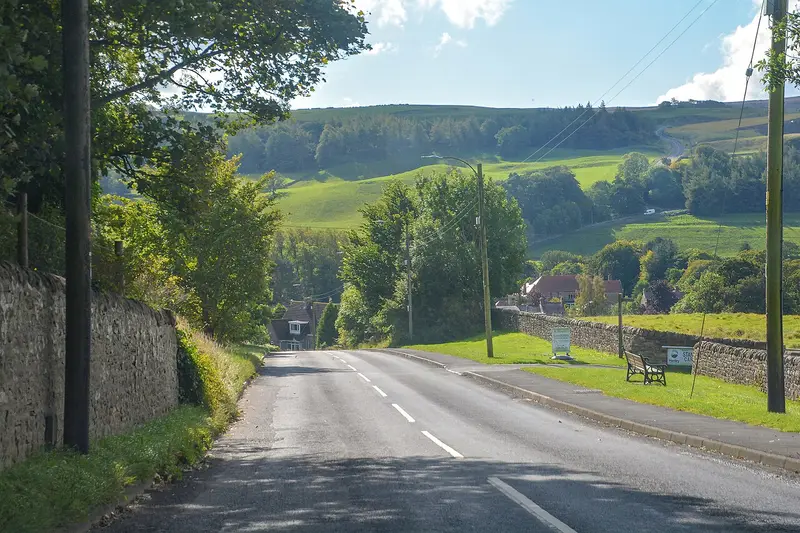
- Distance
- 3.4 miles
- Time
- 1 hr 35 min
- Climb
- 393 ft
- Route
- Circular
- Difficulty
- Easy
About this walk
An easy 3.4-mile loop around Stanhope, about an hour and a half.
Route, mapped by OpenStreetMap contributors.
Near the start
- Café
- Everyday Cafe, 550 m from the start
- Pub
- The Grey Bull, at the start
- Shop
- Lakes & Dales Co-operative, 550 m from the start
- Toilets
- at the start
- Stiles
- 3 mapped on the route
- Woodland
- About 30% of the route
Good to know
- Hills
- Flat
More walks near Stanhope
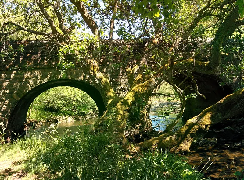
Blanchland Geotrail
Blanchland · 7.1 miles away
3.3 miles · 1 hr 35 min · Circular
- Circular
- Café or pub nearby
- No stiles
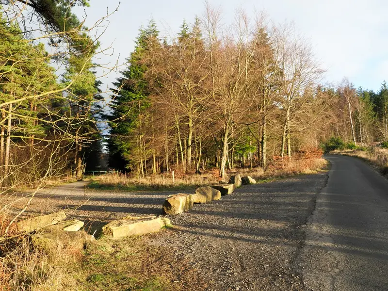
Three Becks Walk
Hamsterley · 7.9 miles away
4.8 miles · 2 hr 20 min · Circular
- Circular
- Woodland
- Café or pub nearby
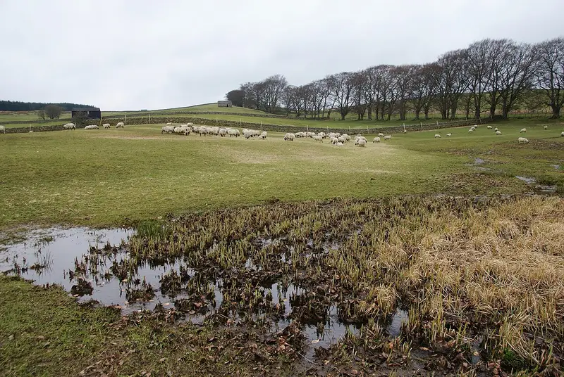
High Force Geotrail
Dirt Pit · 8.7 miles away
3.4 miles · 1 hr 30 min · Circular
- Circular
- Café or pub nearby

Consett Heritage Trail
Consett · 9.1 miles away
4.4 miles · 2 hr · Circular
- Circular
- Woodland
- Café or pub nearby
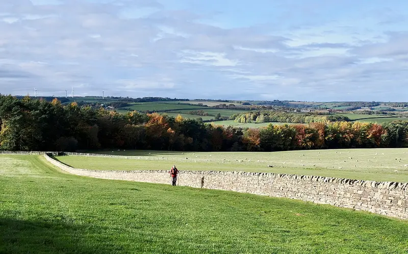
Esh Winning and Waterhouses
Esh Winning · 12.5 miles away
3.3 miles · 1 hr 30 min · Circular
- Circular
- Café or pub nearby
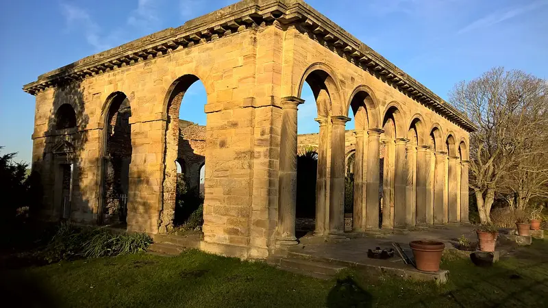
Valley Views Trail
Rowlands Gill · 16.5 miles away
4.3 miles · 2 hr · Circular
- Circular
- Woodland
- Dog-friendly café or pub
Walk Stanhope Burn Geotrail with Lead On
Save it to your walks and Lead On will suggest it on a day it suits: the right weather, the right tide and the time you have. It tracks the route as you go, even with your phone locked.