The Burway Loop: A Walk to the Top of the Long Mynd
Church Stretton, ShropshireWalks in Shropshire
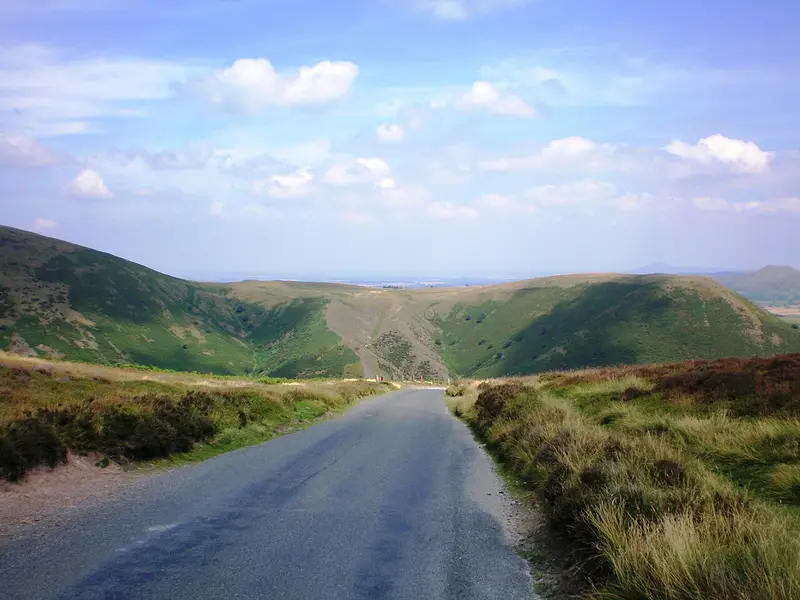
- Distance
- 5.8 miles
- Time
- 2 hr 50 min
- Climb
- 997 ft
- Route
- Circular
- Difficulty
- Moderate
About this walk
A moderate 5.8-mile loop around Church Stretton, about three hours.
This 5.8-mile circular walk from the Church Stretton area climbs to the Long Mynd's highest point, passing the top end of Carding Mill Valley. Allow about 170 minutes, with nearly 1,000 ft of ascent. It's rugged going, with a steep pull up onto the hill and some narrow paths coming down where the ground falls away sharply to one side. No stiles are mapped. The National Trust Tea Rooms are about 2.5 km from the start, with toilets slightly nearer. It suits fit walkers who are happy on steep slopes and exposed paths.
Route waymarked by National Trust, mapped by OpenStreetMap contributors.
Near the start
- Café
- National Trust Tea Rooms, 1.5 miles from the start
- Toilets
- 1.5 miles from the start
- Stiles
- None mapped on the route
Good to know
- Hills
- Flat
More walks near Church Stretton
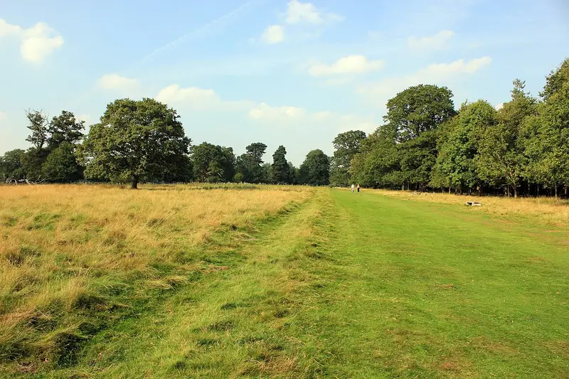
WWII Walk
Atcham · 12.4 miles away
3.4 miles · 1 hr 25 min · Circular
- Circular
- Woodland
- Café or pub nearby
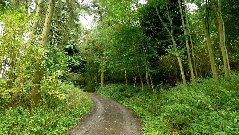
Wigmore Loop
Wigmore · 17.4 miles away
10 miles · 4 hr 35 min · Circular
- Circular
- Café or pub nearby
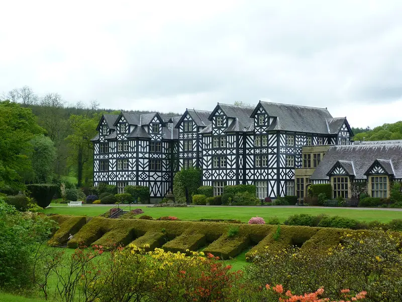
Gregynog long circular walk
Tregynon · 20.5 miles away
3.3 miles · 1 hr 35 min · Circular
- Circular
- Woodland
- No stiles

Captain Geoffrey's Woodland Walk
Hampton Loade · 21 miles away
5.9 miles · 2 hr 35 min · Circular
- Circular
- Woodland
- Café or pub nearby
Mosses Trail Purple
Whixall · 25.6 miles away
3.2 miles · 1 hr 20 min · Circular
- Circular
- No stiles

Hendre Pleasure Drive
Pont Llogel · 27.3 miles away
6.1 miles · 2 hr 50 min · Circular
- Circular
- Woodland
- No stiles
Walk The Burway Loop: A Walk to the Top of the Long Mynd with Lead On
Save it to your walks and Lead On will suggest it on a day it suits: the right weather, the right tide and the time you have. It tracks the route as you go, even with your phone locked.