Buttermere to Rannerdale Walk
Buttermere, CumberlandWalks in Cumbria
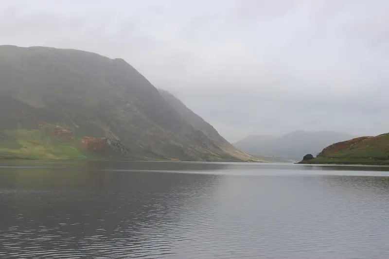
- Distance
- 2.9 miles
- Time
- 1 hr 35 min
- Climb
- 865 ft
- Route
- Circular
- Difficulty
- Moderate
About this walk
A moderate 2.9-mile loop around Buttermere, about an hour and a half.
Starting from Buttermere village, this circular route heads up out of the valley onto the ridge of Rannerdale Knotts. From the top you can look across three lakes towards the high fells. The way back drops down beside Crummock Water and through Nether How woods before reaching Buttermere again. It's 2.9 miles with 865 ft of ascent, so expect a steady climb, and allow about 95 minutes. No stiles are mapped along the way. A farm shop, café, pub and toilets are all within 400 m of the start. It's a good moderate outing for walkers happy with a short, sharp hill.
Route waymarked by National Trust, mapped by OpenStreetMap contributors.
Near the start
- Café
- Croft House Farm Café, 400 m from the start
- Pub
- The Buttermere Court Hotel, 400 m from the start
- Shop
- Cragg House Farm Shop, 150 m from the start
- Toilets
- 400 m from the start
- Stiles
- None mapped on the route
- Woodland
- About 10% of the route
Good to know
- Hills
- Some hills
Photos
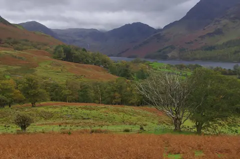
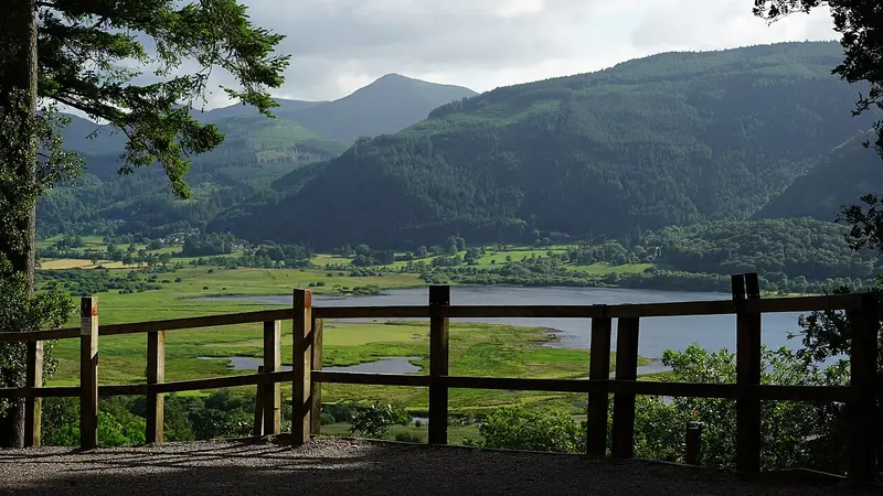
Above Buttermere village — Photo: Ian Taylor, CC BY-SA 2.0 (Wikimedia Commons) 
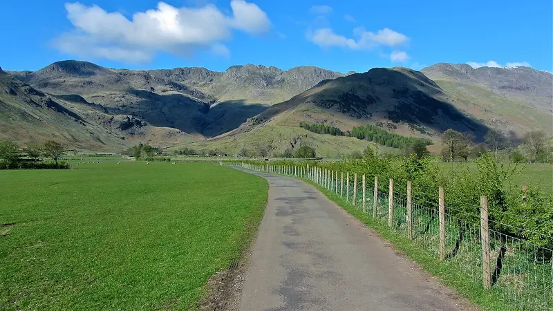
On Whiteless Breast — Photo: Trevor Harris, CC BY-SA 2.0 (Wikimedia Commons)
More walks near Buttermere

Corpse Road and Tumuli Walk
Loweswater · 3.3 miles away
3.5 miles · 1 hr 45 min · Circular
- Circular
- Woodland
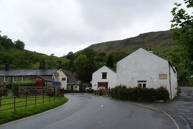
Castle Crag from Seatoller Trail: The Scenic Route
Seatoller · 5 miles away
4.8 miles · 2 hr 20 min · Circular
- Circular
- Woodland
- Café or pub nearby
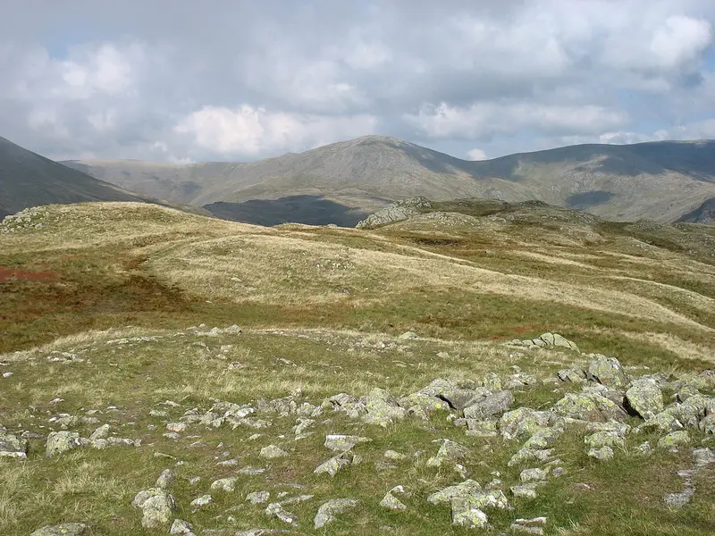
Greendale and Middle Fell Walk
Greendale · 6.6 miles away
2.8 miles · 1 hr 45 min · Circular
- Circular
- No stiles

Walla Crag to Ashness Bridge walk
Keswick · 7.3 miles away
4.5 miles · 2 hr 20 min · Circular
- Circular
- Café or pub nearby
Dodd Summit Trail
Little Crosthwaite · 7.7 miles away
3.6 miles · 2 hr · Circular
- Circular
- Woodland
- Café or pub nearby
Mickleden Valley Trail
Raw Head · 9.9 miles away
3.7 miles · 1 hr 40 min · There and back
- Café or pub nearby
- No stiles
Walk Buttermere to Rannerdale Walk with Lead On
Save it to your walks and Lead On will suggest it on a day it suits: the right weather, the right tide and the time you have. It tracks the route as you go, even with your phone locked.