Limpsfield common and the Carpenters Arms Walk
Limpsfield Chart, SurreyWalks in Surrey
- Distance
- 3.6 miles
- Time
- 1 hr 30 min
- Climb
- 221 ft
- Route
- Circular
- Difficulty
- Easy
About this walk
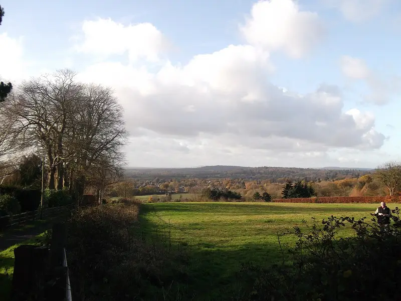
An easy 3.6-mile loop around Limpsfield Chart, about an hour and a half.
This 3.5-mile circular walk begins at the Carpenters Arms in Limpsfield Chart and makes a loop around Limpsfield Common. Along the way you'll pass farmland and head through old woodland. The going is easy, with broad paths on sandy ground and around 221 ft of climbing in total. No stiles are mapped on the route. Allow about 90 minutes, and you'll finish back at the pub where you started. It's a good choice for anyone after a gentle, fairly short outing with a pub on hand.
Route waymarked by National Trust, mapped by OpenStreetMap contributors.
Near the start
- Pub
- Carpenters Arms, at the start
- Stiles
- None mapped on the route
- Woodland
- About 60% of the route
Good to know
- Hills
- Flat
More walks near Limpsfield Chart
Biggin Hill Circular Walk
Tatsfield · 3.2 miles away
7.1 miles · 3 hr 15 min · Circular
- Circular
- Café or pub nearby
Red Walk
Sundridge with Ide Hill · 3.3 miles away
2.9 miles · 1 hr 25 min · Circular
- Circular
- Woodland
- Café or pub nearby
Woldingham Countryside Walk
Oxted · 3.5 miles away
5.3 miles · 2 hr 25 min · Circular
- Circular
- Woodland
Berry's Green Circular Walk
4.2 miles away
7.9 miles · 3 hr 35 min · Circular
- Circular
- Woodland
- Café or pub nearby
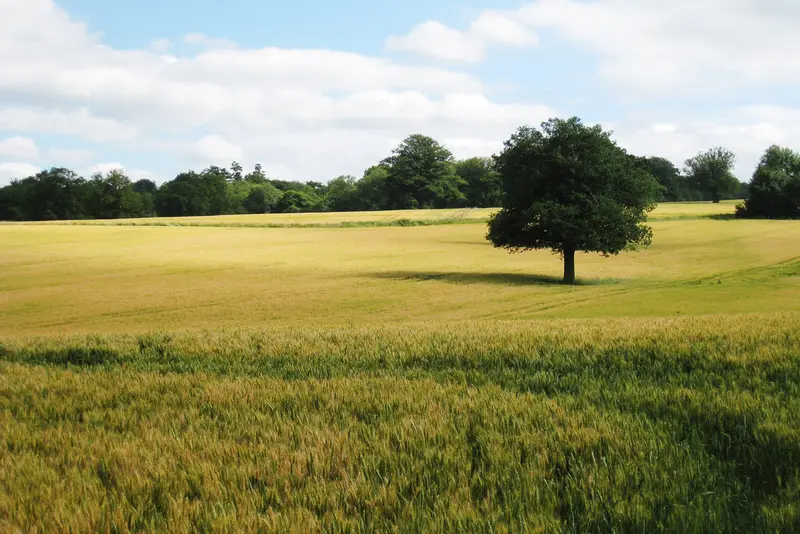
Corner of Four Counties walk (SCC)
Dormansland · 6 miles away
5.5 miles · 2 hr 30 min · Circular
- Circular
- Café or pub nearby
Leaves Green Circular Walk
Greater London · 6.1 miles away
6.9 miles · 3 hr 5 min · Circular
- Circular
- Café or pub nearby
Walk Limpsfield common and the Carpenters Arms Walk with Lead On
Save it to your walks and Lead On will suggest it on a day it suits: the right weather, the right tide and the time you have. It tracks the route as you go, even with your phone locked.