Water Vole Way
Eastleigh, HampshireWalks in Hampshire
- Distance
- 3.5 miles
- Time
- 1 hr 30 min
- Climb
- 181 ft
- Route
- Circular
- Difficulty
- Easy
About this walk
An easy 3.5-mile loop around Eastleigh, about an hour and a half.
Route, mapped by OpenStreetMap contributors.
Near the start
- Pub
- Ham Farm, 600 m from the start
- Shop
- Tesco Express, 300 m from the start
- Stiles
- None mapped on the route
- Woodland
- About 40% of the route
Good to know
- Hills
- Flat
Photos
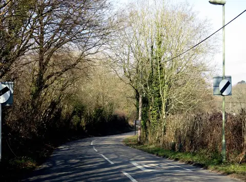
Church Road leaving Stoke Common — Photo: Steve Daniels, CC BY-SA 2.0 (Wikimedia Commons) 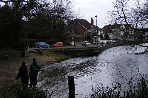
The Anglers — Photo: peter clayton, CC BY-SA 2.0 (Wikimedia Commons)
More walks near Eastleigh
Otter Trail
South Down · 2 miles away
3.6 miles · 1 hr 30 min · Circular
- Circular
- Woodland
- Café or pub nearby
Hamble Rail Trail Route
Hamble-le-Rice · 8.2 miles away
3.9 miles · 1 hr 40 min · Circular
- Circular
- Coastal
- Woodland
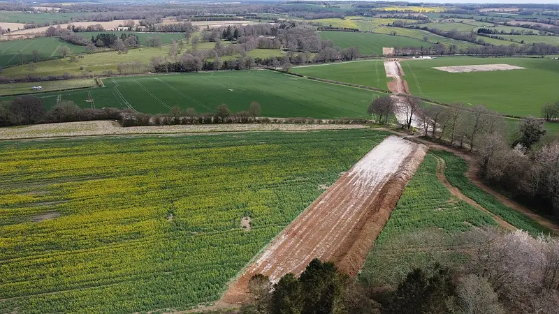
Dutton Estate Walk at Hinton Ampner
Hinton Ampner · 9.8 miles away
4.1 miles · 1 hr 50 min · Circular
- Circular
- Woodland
- Café or pub nearby

Battle of Cheriton
Cheriton · 10.3 miles away
5.4 miles · 2 hr 25 min · Circular
- Circular
- Café or pub nearby
Stockbridge Down Wildlife and History Walk
Stockbridge · 10.5 miles away
2.2 miles · 1 hr · Circular
- Circular
- No stiles
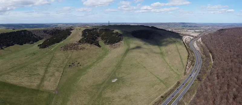
Long Woodland Trail
Buriton · 16 miles away
4.8 miles · 2 hr 15 min · Circular
- Circular
- Woodland
- Café or pub nearby
Walk Water Vole Way with Lead On
Save it to your walks and Lead On will suggest it on a day it suits: the right weather, the right tide and the time you have. It tracks the route as you go, even with your phone locked.