Devils Dyke
Poynings, Mid Sussex, West SussexWalks in West Sussex
- Distance
- 1.5 miles
- Time
- 50 min
- Climb
- 202 ft
- Route
- One way
- Difficulty
- Easy
About this walk
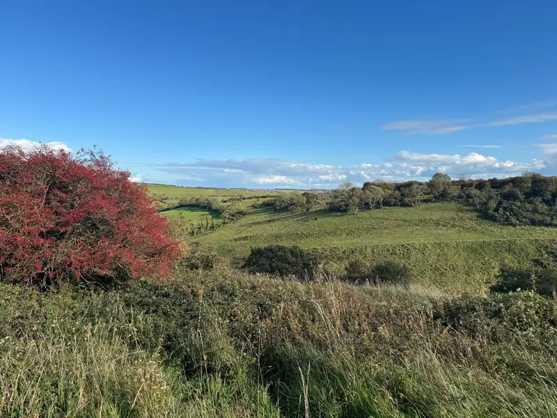
An easy 1.5-mile walk near Poynings, about 50 minutes.
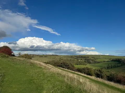
Park at the National Trust car park at Devil's Dyke (BN1 8YJ) — it's ok for space but can fill up when it's busy, so get there early if you can. The route runs point to point along the dry chalk valley, with a steep climb and open views over the Weald and Poynings. Most of it is off-lead, with dog bins along the way, but it's exposed, so check the weather before you set off. There's a cafe or pub and public toilets near the end. Best avoided in peak season if you want it quieter — otherwise it's well worth the walk for the views alone.
Near the start
- Café
- The Dyke Golf Club Canteen, 550 m from the start
- Pub
- The Devil's Dyke, at the start
- Toilets
- at the start
- Stiles
- 1 mapped on the route
- Woodland
- About 10% of the route
Good to know
- Off-lead time
- Mostly off-lead
- Paths
- Okay
- Mud
- Usually dry
- Hills
- Steep
- Busyness
- Busy
- Parking
- Okay
Photos

More walks near Poynings
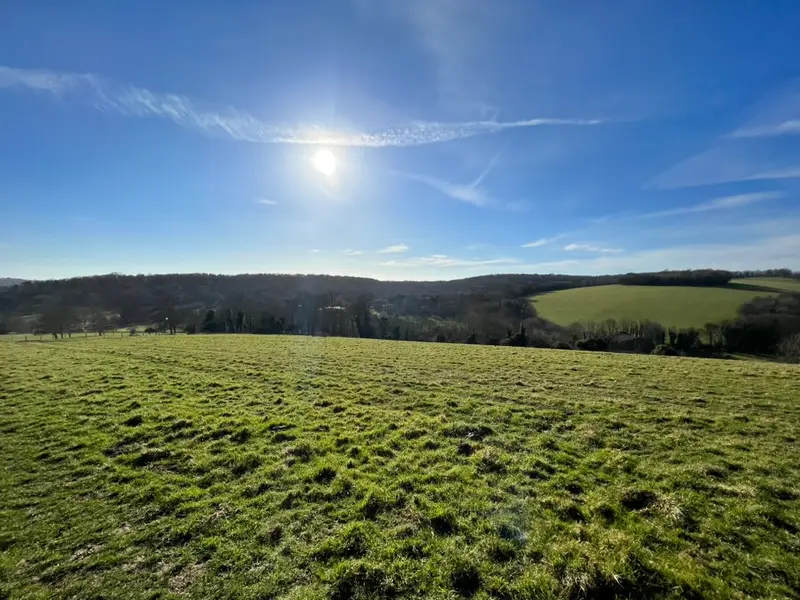
Stanmer Park
Falmer · 4.1 miles away
2.2 miles · 1 hr 5 min · Circular
- Circular
- Woodland
- Café or pub nearby
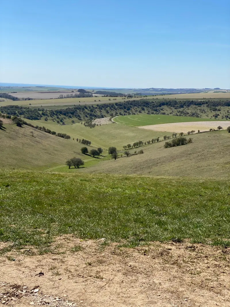
Ditchling Beacon
Westmeston · 4.7 miles away
1.3 miles · 40 min · There and back
- No stiles
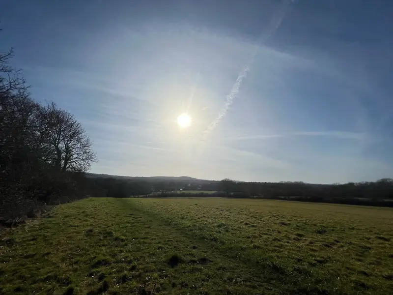
Nightingale Meadows
Burgess Hill · 5.3 miles away
1.9 miles · 55 min · Circular
- Circular
- No stiles
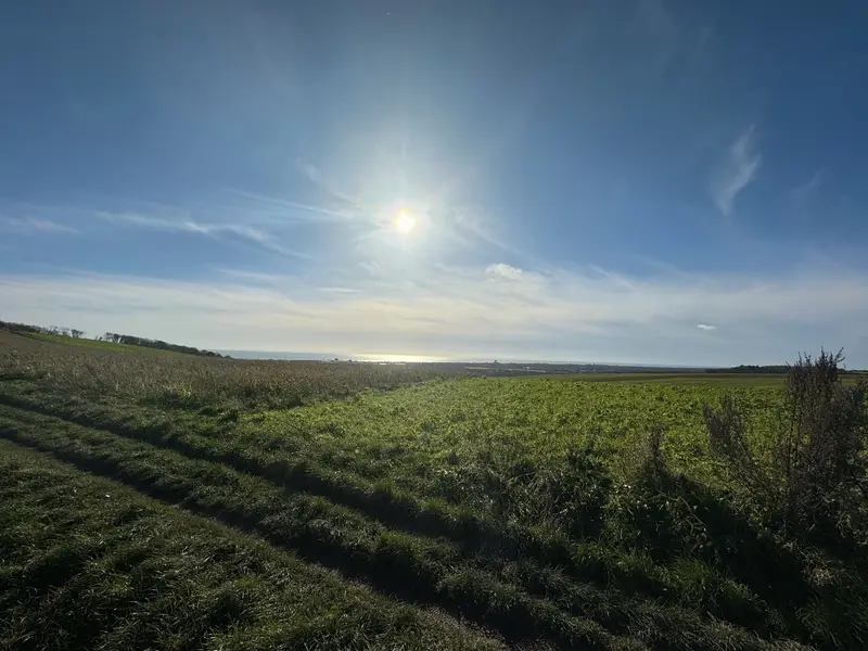
Lancing Ring
Lancing · 5.6 miles away
1.6 miles · 1 hr · There and back
- No stiles
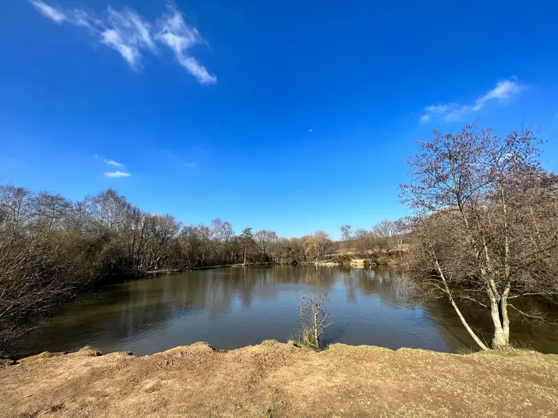
Ditchling Common
Ditchling · 6.4 miles away
0.9 miles · 40 min · Circular
- Circular
- No stiles
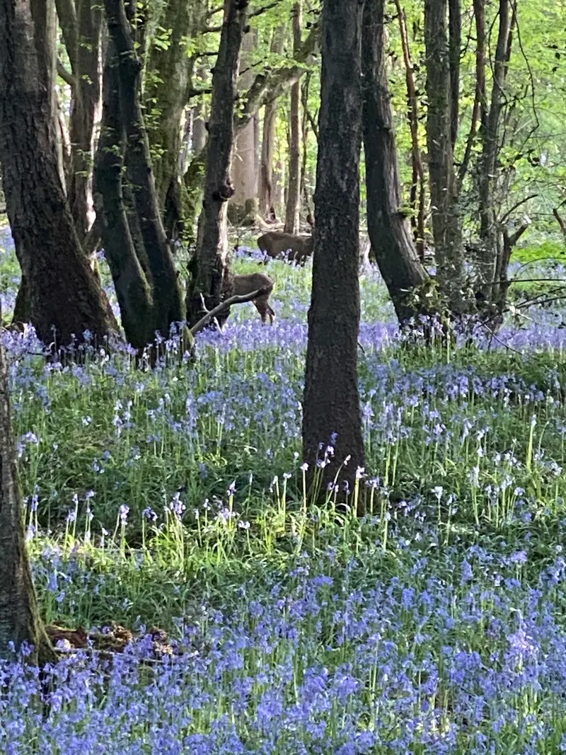
Bedelands Nature Reserve
World's End · 6.7 miles away
1.6 miles · 50 min · Circular
- Circular
- Woodland
- Café or pub nearby
Walk Devils Dyke with Lead On
Save it to your walks and Lead On will suggest it on a day it suits: the right weather, the right tide and the time you have. It tracks the route as you go, even with your phone locked.