Ardingly reservoir
Ardingly, Mid Sussex, West SussexWalks in West Sussex
- Distance
- 2.3 miles
- Time
- 1 hr 15 min
- Climb
- 74 ft
- Route
- There and back
- Difficulty
- Easy
About this walk
An easy 2.3-mile there-and-back near Ardingly, about an hour.
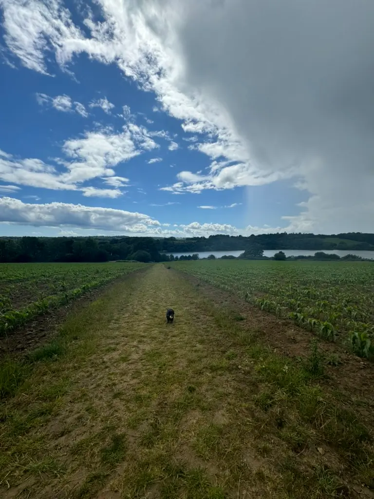
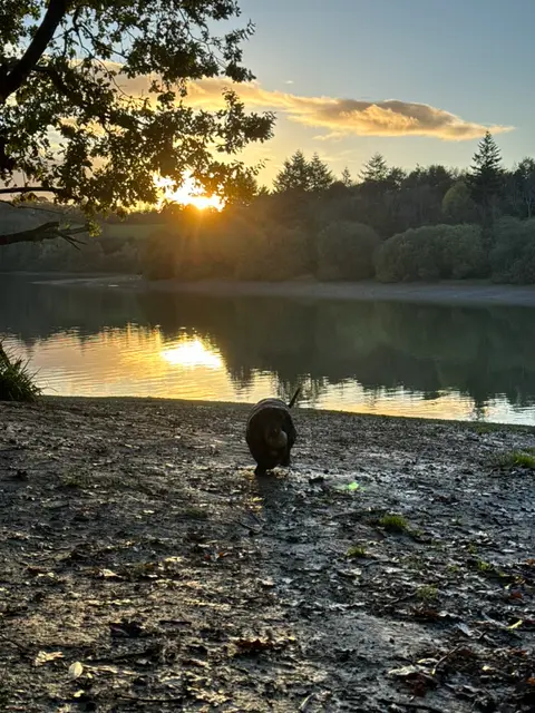
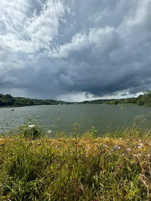
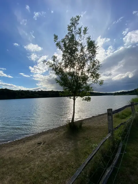
Park next to the activity centre, but check the closing time as the gate shuts and you don't want to come back to a locked car park. From there it's a there-and-back along the reservoir, 2.3 miles in all, with a few short climbs and good views over the water. You can't do a full loop, but if you fancy more variety, drop off the direct path and cut through the farmer's fields behind to make a rougher circuit. Most of it's off-lead, with dog bins along the way and plenty of spots to stop for a picnic. It can get muddy after rain and busy on a nice day, but it's easy underfoot otherwise. Finish at the Gardeners Arms nearby for a drink. Straightforward and reliable, especially in sunshine or on a calm day.
Near the start
- Café
- 450 m from the start
- Stiles
- 1 mapped on the route
- Woodland
- About 50% of the route
Good to know
- Off-lead time
- Mostly off-lead
- Paths
- Okay
- Mud
- Bit muddy
- Hills
- Some hills
- Busyness
- Busy
- Parking
- Good
Photos

More walks near Ardingly
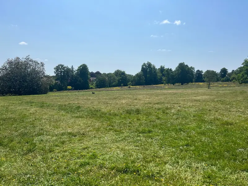
Beech Hurst
Lucastes · 3.1 miles away
0.9 miles · 30 min · There and back
- No stiles
- Pushchair friendly
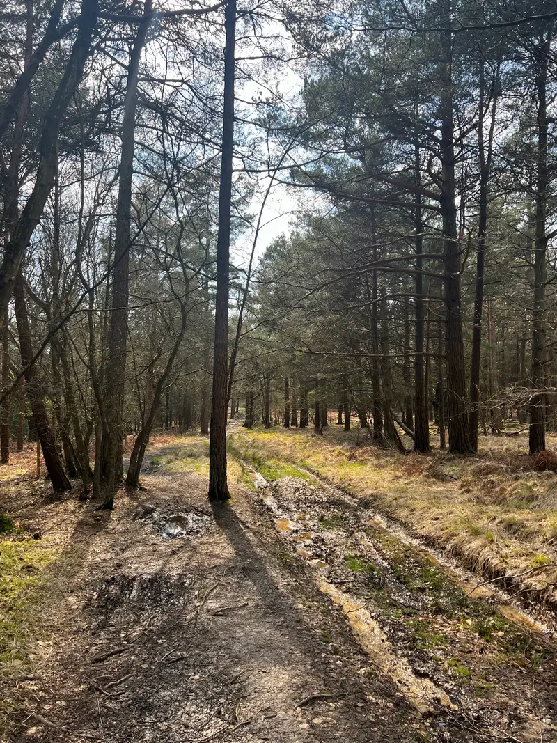
Cowdray Forest
Balcombe · 3.2 miles away
1.5 miles · 50 min · Circular
- Circular
- Woodland
- Café or pub nearby

Nymans
Handcross · 4 miles away
2.2 miles · 1 hr · Circular
- Circular
- Woodland
- Café or pub nearby
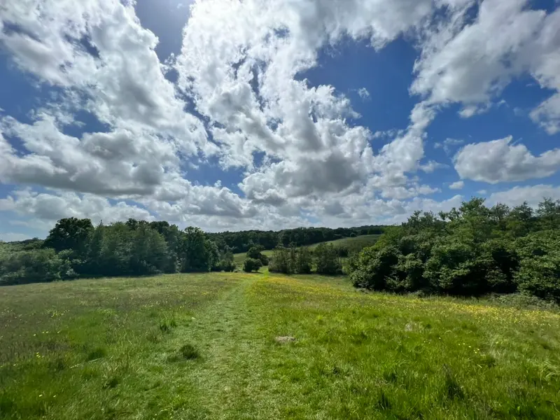
Gravetye Estate
East Grinstead · 4.5 miles away
1.3 miles · 1 hr · Circular
- Circular
- Woodland
- No stiles
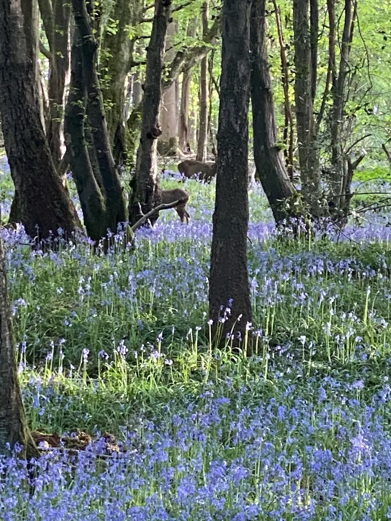
Bedelands Nature Reserve
World's End · 5.4 miles away
1.6 miles · 50 min · Circular
- Circular
- Woodland
- Café or pub nearby

Bluebell Walk at Standen
Saint Hill Green · 5.5 miles away
2.1 miles · 55 min · Circular
- Circular
- Woodland
- Café or pub nearby
Walk Ardingly reservoir with Lead On
Save it to your walks and Lead On will suggest it on a day it suits: the right weather, the right tide and the time you have. It tracks the route as you go, even with your phone locked.