The Bishop's Way
Queen Adelaide, CambridgeshireWalks in Cambridgeshire
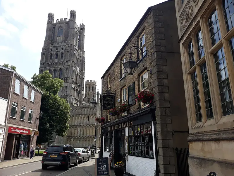
- Distance
- 9.1 miles
- Time
- 3 hr 45 min
- Climb
- 223 ft
- Route
- Circular
- Difficulty
- Challenging
About this walk
A challenging 9.1-mile loop around Queen Adelaide, about three and a half hours.
Route, mapped by OpenStreetMap contributors.
Near the start
- Café
- Bobana, 1.1 miles from the start
- Pub
- The High Flyer, 1 miles from the start
- Shop
- Waitrose, 1 miles from the start
- Toilets
- 1.1 miles from the start
- Stiles
- None mapped on the route
Good to know
- Hills
- Flat
Photos
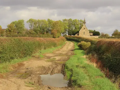
Heading east towards Church of St Michael ^ All Angels, Chettisham — Photo: Colin Park, CC BY-SA 2.0 (Wikimedia Commons) 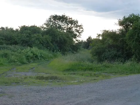
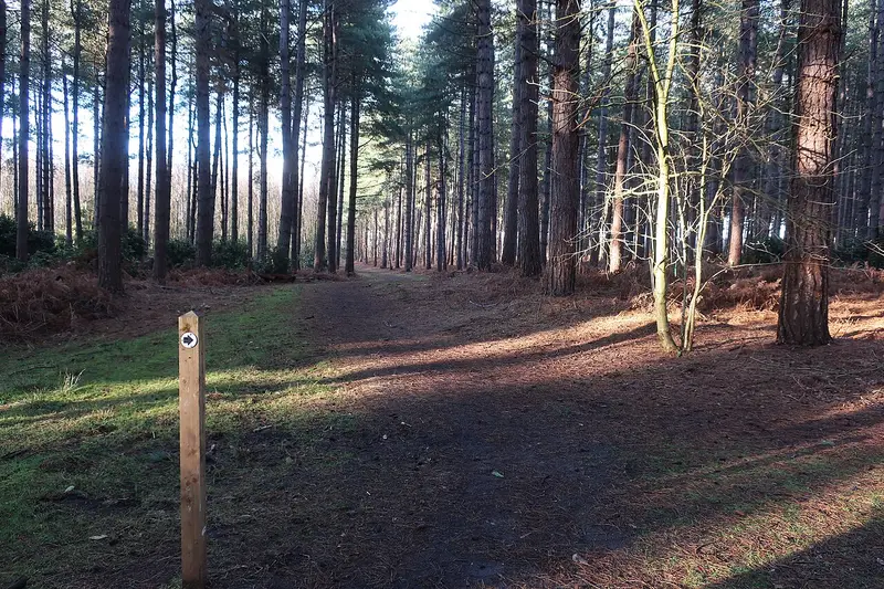
Clayway lane near Little Downham — Photo: Richard Humphrey, CC BY-SA 2.0 (Wikimedia Commons)
More walks near Queen Adelaide
Wicken Fen Summer Nature Trail
Wicken · 6.8 miles away
2.6 miles · 1 hr 5 min · Circular
- Circular
- Café or pub nearby
- No stiles
The History Trail
Weeting-with-Broomhill · 14.2 miles away
3.2 miles · 1 hr 20 min · Circular
- Circular
- Café or pub nearby
- No stiles
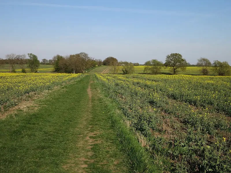
Hardwick Millennium Footpath
Hardwick · 18.2 miles away
7.5 miles · 3 hr 5 min · Circular
- Circular
- Café or pub nearby
- No stiles
The Warren Trail Circular
Beachamwell · 19.9 miles away
4 miles · 1 hr 40 min · Circular
- Circular
- No stiles
Pentney and Shouldham Warren via Pentney Abbey
Setchey · 20.4 miles away
10.2 miles · 4 hr 10 min · Circular
- Circular
Pickenhams Circular Walk
North Pickenham · 24.8 miles away
6.3 miles · 2 hr 40 min · Circular
- Circular
- Café or pub nearby
Walk The Bishop's Way with Lead On
Save it to your walks and Lead On will suggest it on a day it suits: the right weather, the right tide and the time you have. It tracks the route as you go, even with your phone locked.