Plains Walk
Lower Budlake, DevonWalks in Devon

- Distance
- 2.3 miles
- Time
- 1 hr 5 min
- Climb
- 373 ft
- Route
- Circular
- Difficulty
- Easy
About this walk
An easy 2.3-mile loop around Lower Budlake, about an hour.
This easy 2.3-mile circular walk starts by The Stables Coffee Shop in Lower Budlake, where you'll also find toilets, and loops out across the Plains, part of Killerton's wider parkland. Expect old veteran trees, wide open spaces, plenty of wildlife and good views as you go. It takes about 65 minutes, with 373 ft of climbing in total and no stiles on the route. Paths can get muddy at certain times of year, so sturdy footwear helps. Dogs are welcome. It's a good choice for anyone wanting a gentle hour's stroll with a coffee stop at the end.
Route waymarked by National Trust, mapped by OpenStreetMap contributors.
Near the start
- Café
- The Stables Coffee Shop, at the start
- Toilets
- at the start
- Stiles
- None mapped on the route
- Woodland
- About 50% of the route
Good to know
- Hills
- Flat
Photos
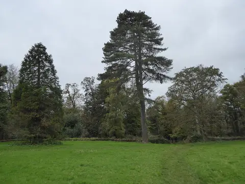
Path in Killerton Park — Photo: David Smith, CC BY-SA 2.0 (Wikimedia Commons) 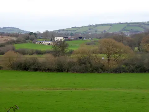
Lower Hayne seen from Killerton Park — Photo: David Smith, CC BY-SA 2.0 (Wikimedia Commons) 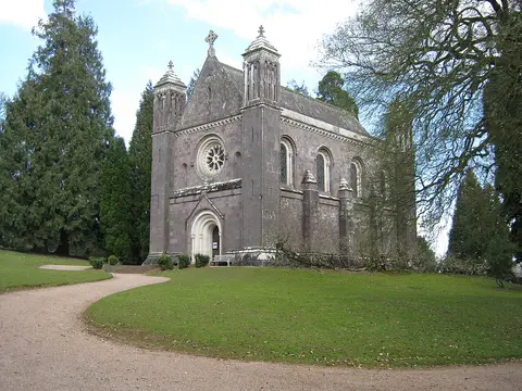
The Chapel, Killerton House. - panoramio — Photo: Robert Powell, CC BY-SA 3.0 (Wikimedia Commons)
More walks near Lower Budlake
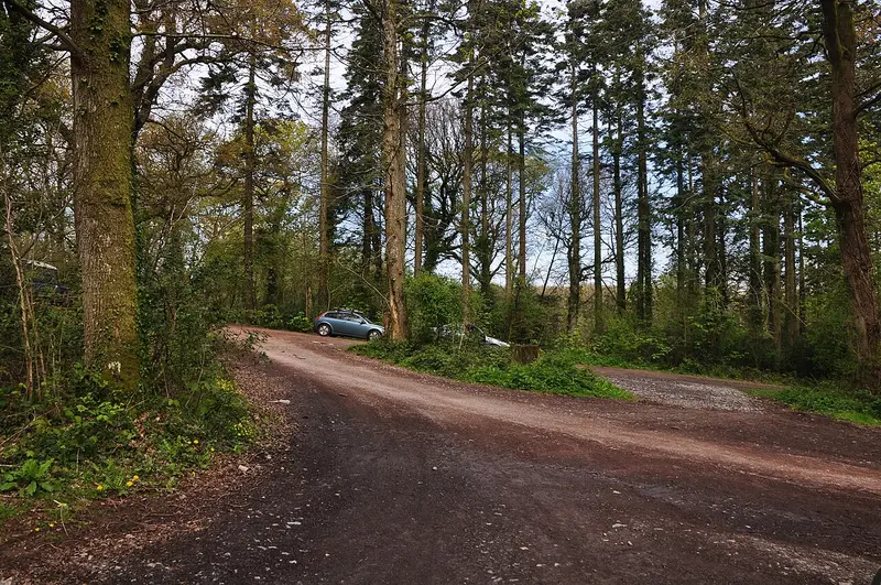
Ashclyst Red Walk
Budlake · 1.5 miles away
2.8 miles · 1 hr 15 min · Circular
- Circular
- Woodland
- No stiles

Rockbeare Circular
Cranbrook · 4.4 miles away
2.4 miles · 1 hr 5 min · Circular
- Circular
- Woodland
- No stiles
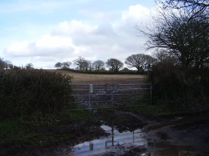
Aylesbeare Circular
Aylesbeare · 6.6 miles away
2.8 miles · 1 hr 15 min · Circular
- Circular
- Café or pub nearby
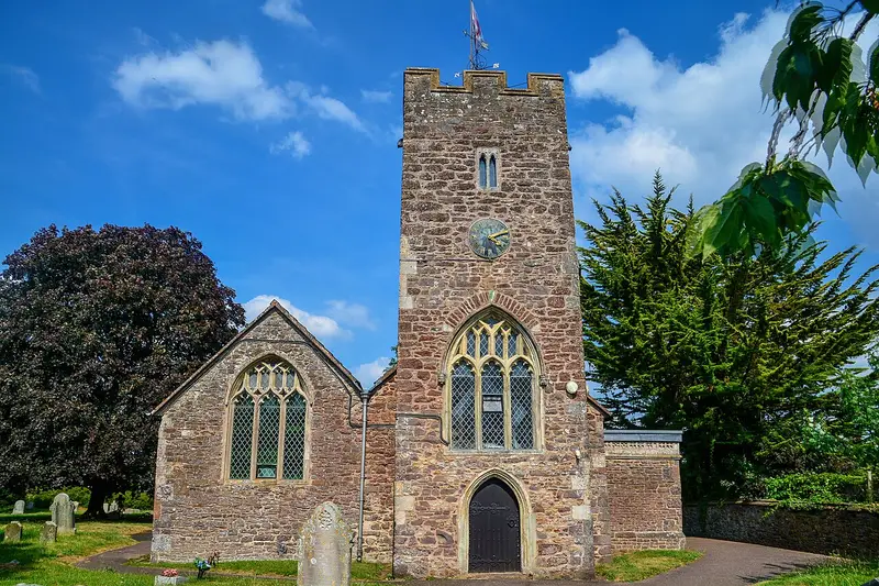
Willand Village Trail
Willand · 7.5 miles away
2.6 miles · 1 hr 5 min · Circular
- Circular
- Café or pub nearby
- No stiles
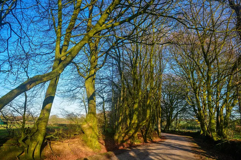
Broadhembury Circular Walk
Broadhembury · 8.3 miles away
4.4 miles · 2 hr 5 min · Circular
- Circular
- Café or pub nearby
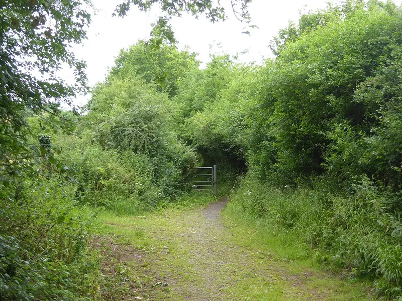
Redvers Ramble
Crediton · 9.2 miles away
2.5 miles · 1 hr 5 min · Circular
- Circular
- Café or pub nearby
- No stiles
Walk Plains Walk with Lead On
Save it to your walks and Lead On will suggest it on a day it suits: the right weather, the right tide and the time you have. It tracks the route as you go, even with your phone locked.