Lundy Bay and Pentire walk
New Polzeath, Kernow / CornwallWalks in Cornwall
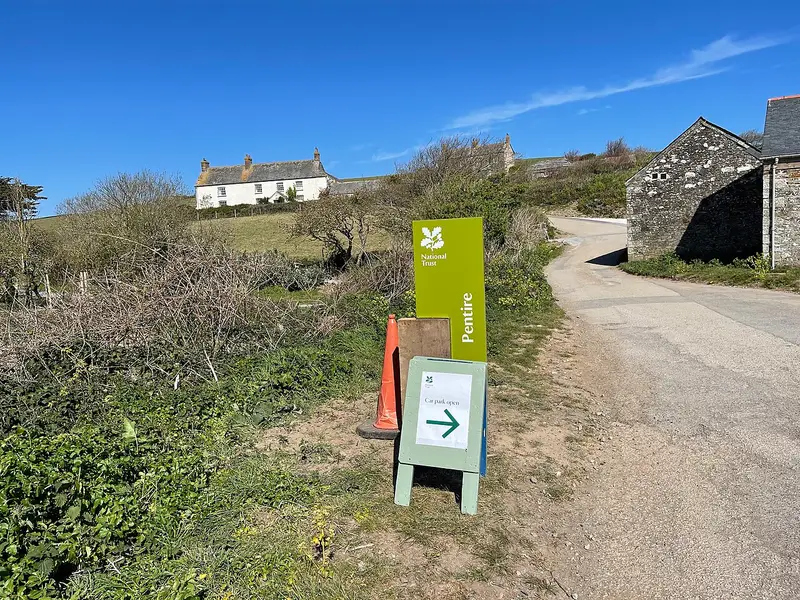
- Distance
- 2.3 miles
- Time
- 1 hr 5 min
- Climb
- 315 ft
- Route
- Circular
- Difficulty
- Easy
About this walk
An easy 2.3-mile loop around New Polzeath, about an hour.
This easy circular walk near New Polzeath covers 2.3 miles and takes about 65 minutes. Most of the way is on a stretch of South West Coast Path, taking in Lundy Bay and Pentire, and the loop comes back on footpaths across inland farmland. Expect natural, uneven ground that turns muddy after rain. There are steps and some slopes, a few of them steep, adding up to 315 ft of climbing. Parts of the cliff are unfenced, so take care near the edge. It suits walkers who are steady on their feet and want a short coastal loop.
Route waymarked by National Trust, mapped by OpenStreetMap contributors.
Near the start
- Café
- National Trust Pentire, 900 m from the start
- Toilets
- 900 m from the start
- Stiles
- None mapped on the route
Good to know
- Hills
- Flat
Photos
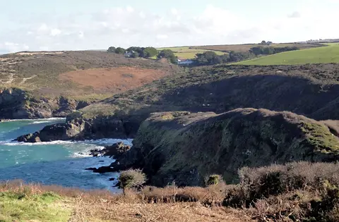
Lundy Hole from the West — Photo: Tony Atkin, CC BY-SA 2.0 (Wikimedia Commons) 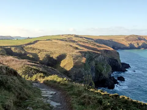
Winter Sunshine on the Coastline — Photo: Tony Atkin, CC BY-SA 2.0 (Wikimedia Commons)
More walks near New Polzeath
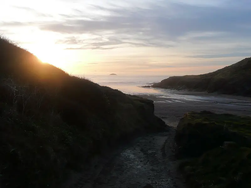
Pentire headland walk
New Polzeath · 0.6 miles away
3.9 miles · 1 hr 50 min · Circular
- Circular
- Coastal
- Café or pub nearby
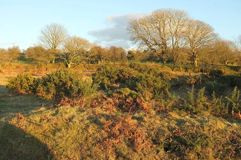
Farm Trail
Blisland · 10.1 miles away
2.6 miles · 1 hr 10 min · Circular
- Circular
- No stiles

Cardinham Woods Pink Trail
Bodmin · 12 miles away
1.4 miles · 35 min · One way
- Woodland
- Café or pub nearby
- No stiles
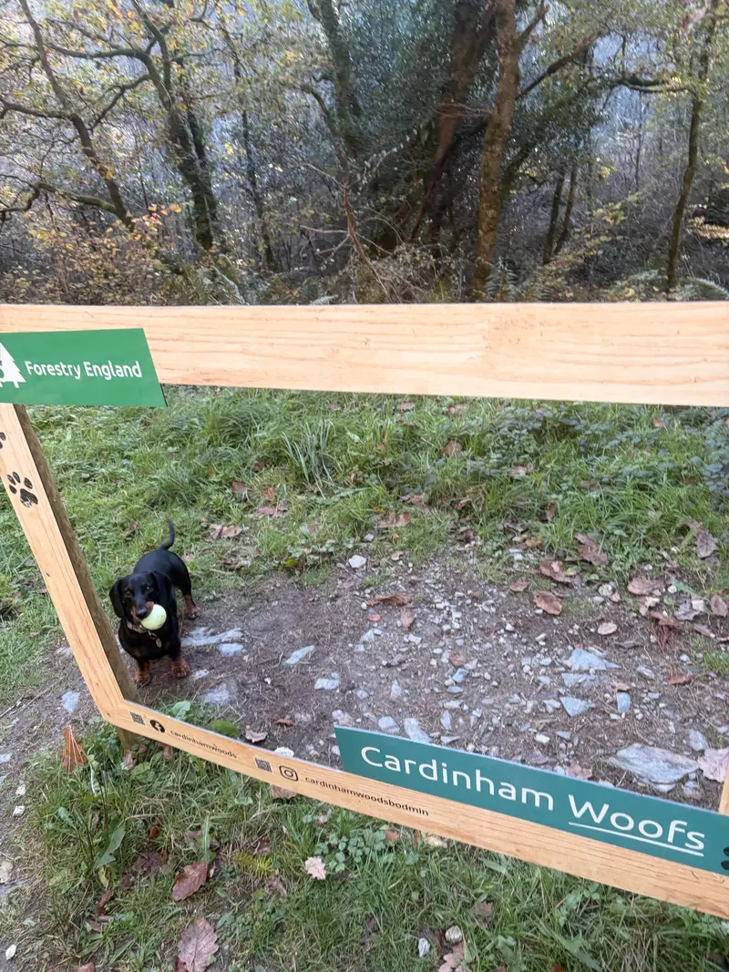
Cardinham - Deviock trail
Cardinham · 12.1 miles away
4.3 miles · 1 hr 45 min · Circular
- Circular
- Woodland
- Café or pub nearby
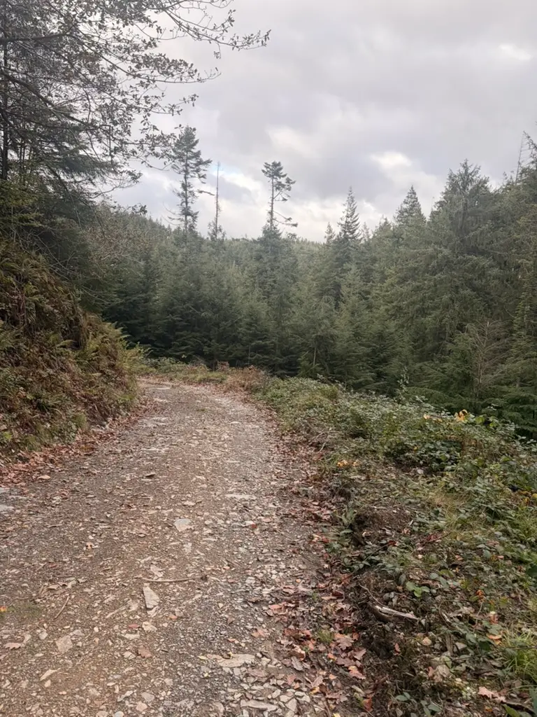
Cardinham's Wheal Glynn
Cardinham · 12.1 miles away
2.7 miles · 1 hr 5 min · Circular
- Circular
- Woodland
- Café or pub nearby
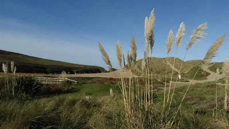
Cubert wildlife walk
West Pentire · 16.1 miles away
4.8 miles · 2 hr 10 min · Circular
- Circular
- Coastal
- Café or pub nearby
Walk Lundy Bay and Pentire walk with Lead On
Save it to your walks and Lead On will suggest it on a day it suits: the right weather, the right tide and the time you have. It tracks the route as you go, even with your phone locked.