Lanteglos to Talland Bay
Lanteglos, CornwallWalks in Cornwall
- Distance
- 6.3 miles
- Time
- 3 hr 55 min
- Climb
- 1768 ft
- Route
- One way
- Difficulty
- Challenging
About this walk
A challenging 6.3-mile walk near Lanteglos, about four hours.
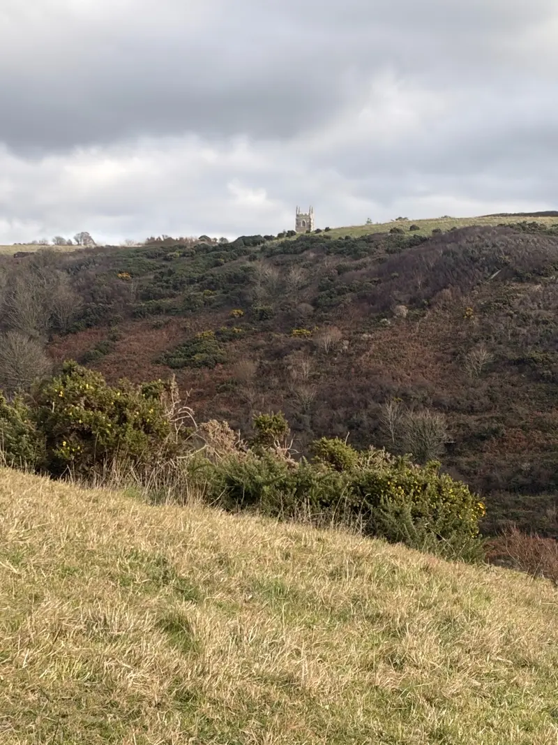
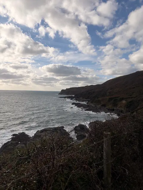
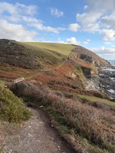
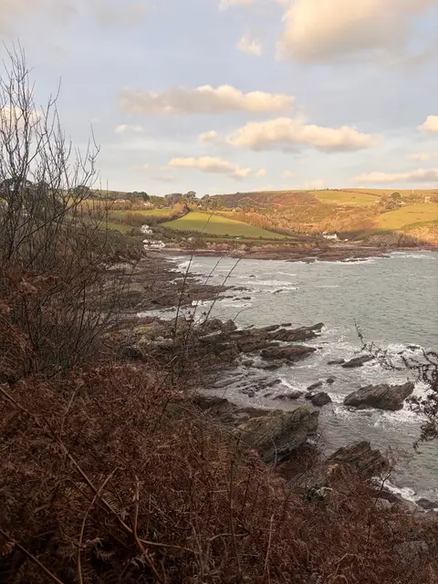
Park at Lanteglos at the national trust carpark; the lanes in are narrow, so take it slowly, but parking itself is easy. This is a point-to-point walk part of the south west coastal footpath 6.3 miles through to Talland Bay, and it's a proper outing with a steep up and down climbs and good views along the way. There are stretches where the dog can go off-lead, plus a stream and the sea to cool off in. About 4.5 miles in is Polperro where there are plenty of places for a drink and something to eat or a wander around the little harbour town. Before heading back on the coastal path to Talland Bay.
Near the start
- Café
- Clements & Hope, 3.1 miles from the start
- Pub
- Ship Inn, 3.1 miles from the start
- Shop
- The Dog House, 3.1 miles from the start
- Toilets
- at the start
- Stiles
- 5 mapped on the route
Good to know
- Off-lead time
- Some off-lead
- Paths
- Okay
- Mud
- Usually dry
- Hills
- Steep
- Busyness
- Moderate
- Parking
- Good
- A good pick on
- High tide, Cold days
Photos

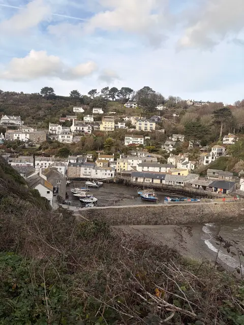
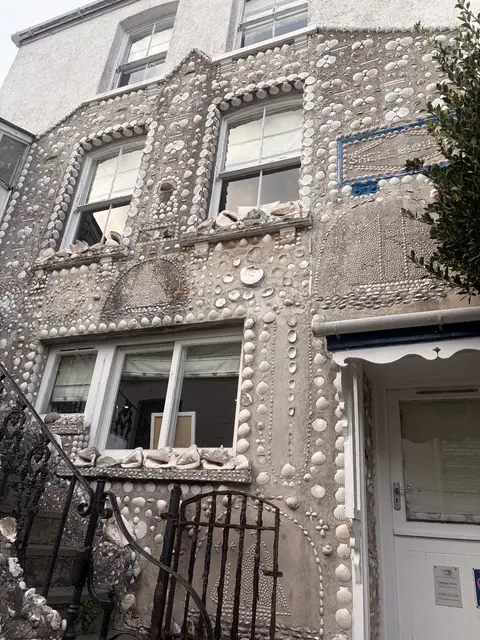
Shell house in Polperro 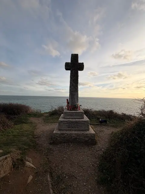
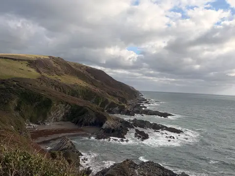
More walks near Lanteglos
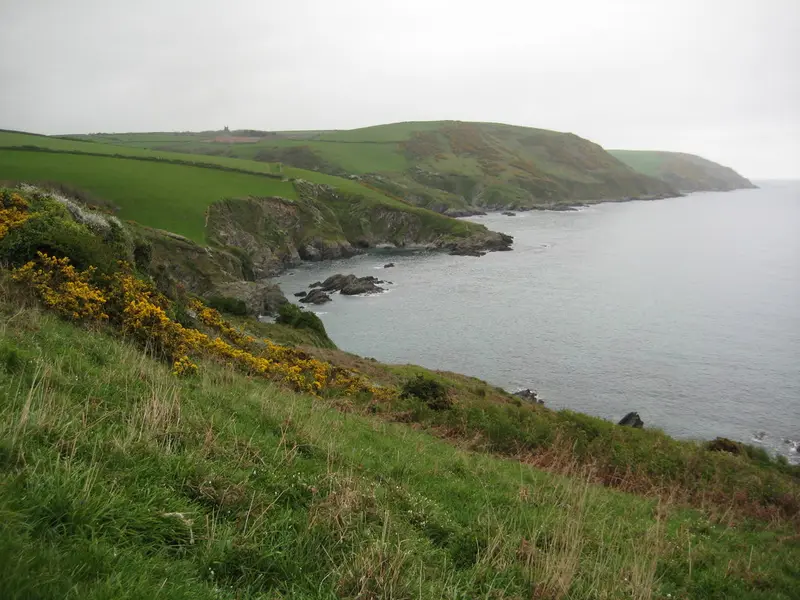
Lantivet and Lansallos walk
Lansallos · 0 miles away
2.5 miles · 1 hr 15 min · Circular
- Circular
- Coastal
- Woodland
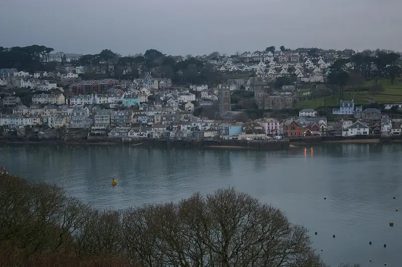
Polruan coast and creek walk
Fowey · 0.5 miles away
4.5 miles · 2 hr 20 min · Circular
- Circular
- Coastal
- Café or pub nearby
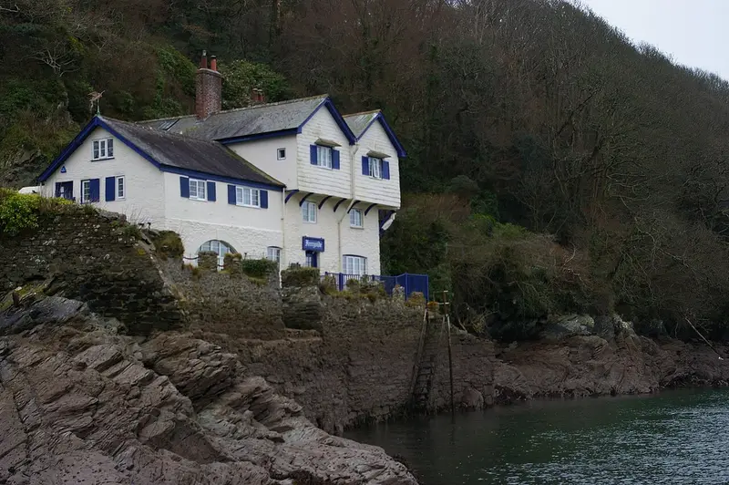
Hall Walk
Fowey · 1.9 miles away
4.3 miles · 2 hr 5 min · Circular
- Circular
- Coastal
- Woodland
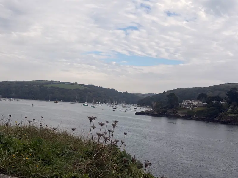
St Catherine Castle, Readymoney Cove and Fowey
Fowey · 2.5 miles away
2.3 miles · 1 hr 15 min · Circular
- Circular
- Coastal
- Dog-friendly café or pub
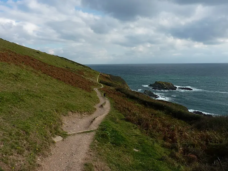
Hendersick and Talland Bay Loop
Talland · 4.9 miles away
2.6 miles · 1 hr 20 min · Circular
- Circular
- Coastal
- Café or pub nearby
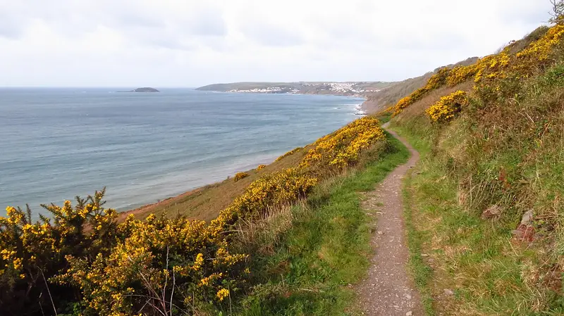
Struddicks circular walk
Seaton · 9.2 miles away
3.2 miles · 1 hr 35 min · Circular
- Circular
- Coastal
- Café or pub nearby
Walk Lanteglos to Talland Bay with Lead On
Save it to your walks and Lead On will suggest it on a day it suits: the right weather, the right tide and the time you have. It tracks the route as you go, even with your phone locked.